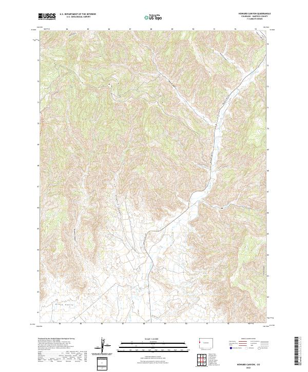
2022 Map of Howard Canyon
USGS Topo · Published 2022About this map
Howard Canyon and the high drainage basins of the western Colorado landscape define this modern topographic study. The area is characterized by a series of deeply etched drainages, including Demaree Canyon, Spink Canyon, and Ashford Canyon, all of which contribute to the broader Grand Valley watershed. This map captures the modern corridor of Douglas Pass Rd as it winds through the terrain, providing a critical north-south route through the township and range system.
Find a feature on this map
18 named features on this map. Tap any name to fly to it.
Don’t see what you’re looking for? This feature index may not catch every label — zoom into the map to look around manually.
Map Details
Editions of this 2022 Howard Canyon Map
This is the sole edition of this map. No revisions or reprints were ever made.
Other maps of this area

1956 · Grand Junction
USGS Topo · 1:250,000

1959 · Grand Junction
USGS Topo · 1:250,000

1960 · Grand Junction
USGS Topo · 1:250,000

1962 · Grand Junction
USGS Topo · 1:250,000

1964 · Grand Junction
USGS Topo · 1:250,000

1964 · Douglas Pass
USGS Topo · 1:24,000

1964 · Baxter Pass
USGS Topo · 1:24,000

1964 · Calf Canyon
USGS Topo · 1:24,000

1965 · Grand Junction
USGS Topo · 1:250,000

1968 · Badger Wash
USGS Topo · 1:24,000