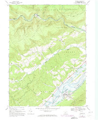
1967 Map of Howard
USGS Topo · Published 1973About this map
Howard serves as a focal point in the valley between Bald Eagle Mtn and the uplands of the Sproul State Forest. This 1967 survey, updated with 1973 photogrammetric revisions, documents the landscape during the development of Sayers Lake, noting areas subject to controlled inundation. The Penn Central railroad parallels the shoreline, connecting the borough of Howard to the broader regional industrial network. Smaller settlements like Orviston and Romola are nestled along watercourses like Beech Creek and Marsh Creek, where local landmarks such as Marsh Creek Ch and Highland Ch provide specific points of interest for genealogists tracing family roots. The map also captures several recreational and utility features, including the Bartley Trail and a radio tower positioned on the high ground overlooking the Marsh Creek valley.
Find a feature on this map
30 named features on this map. Tap any name to fly to it.
Don’t see what you’re looking for? This feature index may not catch every label — zoom into the map to look around manually.
Map Details
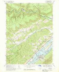
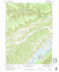
Editions of this 1967 Howard Map
Other maps of this area

1908 · Bellefonte
USGS Topo · 1:62,500

1909 · Bellefonte
USGS Topo · 1:62,500

1921 · Howard
USGS Topo · 1:48,000

1923 · Howard
USGS Topo · 1:62,500

1924 · Centre Hall
USGS Topo · 1:62,500

1928 · Snow Shoe
USGS Topo · 1:48,000

1929 · Centre Hall
USGS Topo · 1:62,500

1931 · Show Shoe
USGS Topo · 1:62,500

1943 · Lewistown
USGS Topo · 1:125,000

1950 · Harrisburg
USGS Topo · 1:250,000