
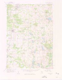
1959 Map of Howard City
USGS Topo · Published 1960About this map
Pennsylvania railroad tracks bisect the landscape of West Central Michigan, anchoring the growth of several villages in the late 1950s. The village of Howard City serves as a primary hub, while smaller communities like Trufant, Coral, and Pierson dot the rural countryside. The mapping reveals a distinct pattern of settlement and local heritage, notably preserved in places like the Little Denmark area and the James Ch Settlement.
Find a feature on this map
124 named features on this map. Tap any name to fly to it.
Don’t see what you’re looking for? This feature index may not catch every label — zoom into the map to look around manually.
Map Details
Editions of this 1959 Howard City Map
2 editions found
Other maps of this area

1918 · Cedar Springs
USGS Topo · 1:62,500

1943 · Cedar Springs
USGS Topo · 1:62,500

1954 · Midland
USGS Topo · 1:250,000

1958 · Midland
USGS Topo · 1:250,000

1958 · Sand Lake
USGS Topo · 1:62,500

1958 · Woodville
USGS Topo · 1:62,500

1958 · Big Rapids
USGS Topo · 1:62,500

1959 · Midland
USGS Topo · 1:250,000

1964 · Six Lakes
USGS Topo · 1:24,000

1964 · Langston
USGS Topo · 1:24,000