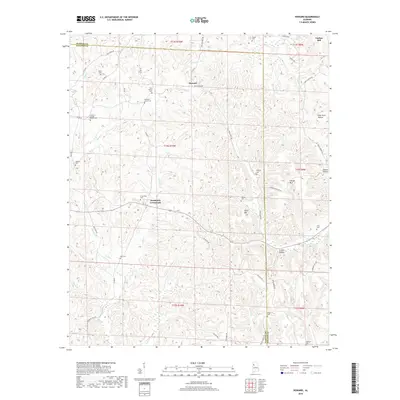
2018 Map of Howard
USGS Topo · Published 2018About this map
The borderlands of Walker and Fayette counties are defined here by a dense network of creek-carved ridges and small family settlements. Howard and Studdards Crossroads serve as central points for this rural landscape, which is notably populated by a high concentration of generational burial sites. From the Harris Cem in the northwest to the Johnston Cem in the southeast, these landmarks provide significant data for genealogists tracing early families in the region.
Find a feature on this map
68 named features on this map. Tap any name to fly to it.
Don’t see what you’re looking for? This feature index may not catch every label — zoom into the map to look around manually.
Map Details
Editions of this 2018 Howard Map
This is the sole edition of this map. No revisions or reprints were ever made.
Other maps of this area

1893 · Jasper
USGS Topo · 1:125,000

1949 · Townley
USGS Topo · 1:24,000

1949 · Oakman
USGS Topo · 1:24,000

1949 · Nauvoo
USGS Topo · 1:24,000

1950 · Nauvoo
USGS Topo · 1:24,000

1951 · Oakman
USGS Topo · 1:24,000

1951 · Townley
USGS Topo · 1:24,000

1953 · Birmingham
USGS Topo · 1:250,000

1956 · Birmingham
USGS Topo · 1:250,000

1957 · Birmingham
USGS Topo · 1:250,000