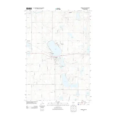
2013 Map of Howard Lake
USGS Topo · Published 2013About this map
Howard Lake serves as the central hub for this portion of Wright County, where the town of the same name sits at the southern shore. The landscape is defined by its glacial hydrology, with North Fork Crow River cutting through the northwest and a dense network of water bodies including Taylor Lake, Lake Ann, and Milky Lake scattered across the township. Transport and community infrastructure follow a well-defined grid, anchored by the east-west corridor of Us-12.
Find a feature on this map
73 named features on this map. Tap any name to fly to it.
Don’t see what you’re looking for? This feature index may not catch every label — zoom into the map to look around manually.
Map Details
Editions of this 2013 Howard Lake Map
This is the sole edition of this map. No revisions or reprints were ever made.
Other maps of this area

1953 · Saint Paul
USGS Topo · 1:250,000

1953 · New Ulm
USGS Topo · 1:250,000

1953 · Saint Cloud
USGS Topo · 1:250,000

1953 · Stillwater
USGS Topo · 1:250,000

1955 · Stillwater
USGS Topo · 1:250,000

1957 · Saint Cloud
USGS Topo · 1:250,000

1957 · New Ulm
USGS Topo · 1:250,000

1957 · Waconia
USGS Topo · 1:62,500

1958 · New Ulm
USGS Topo · 1:250,000

1958 · Stillwater
USGS Topo · 1:250,000