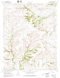
1964 Map of Howard NW
USGS Topo · Published 1979About this map
The Old Indian Treaty Boundary cuts across the northern landscape of this Kansas quadrangle, marking a historical division in the terrain between Union Center and Greenfield. By the mid-1960s, the local economy shows a clear reliance on energy extraction, evidenced by the numerous petroleum operations dotting the plains including the Bush-Denton Oil Field, Perkins Oil Field, and Love Oil Field.
Find a feature on this map
20 named features on this map. Tap any name to fly to it.
Don’t see what you’re looking for? This feature index may not catch every label — zoom into the map to look around manually.
Map Details
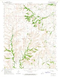
Editions of this 1964 Howard NW Map
2 editions found
Other maps of this area

1885 · Eureka
USGS Topo · 1:125,000

1885 · Sedan
USGS Topo · 1:125,000

1888 · Eureka
USGS Topo · 1:125,000

1888 · Eldorado
USGS Topo · 1:125,000

1889 · Burden
USGS Topo · 1:125,000

1889 · Sedan
USGS Topo · 1:125,000

1894 · Eureka
USGS Topo · 1:125,000

1955 · Wichita
USGS Topo · 1:250,000

1958 · Wichita
USGS Topo · 1:250,000

1962 · Moline
USGS Topo · 1:24,000