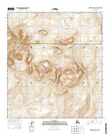
2015 Map of Howard Pass A-5 NE
USGS Topo · Published 2015About this map
Noatak National Preserve encompasses the central landscape of this Arctic wilderness, where the southern reaches of the Brooks Range meet the expansive river valleys of northern Alaska. The terrain is defined by the headwaters of several drainages, most notably Tupichalik Cr in the northeast corner. This 2015 survey provides a precise view of the boundary line between the North Slope Borough and the Northwest Arctic Borough, which bisects the quadrangle horizontally. The map illustrates a high-altitude wilderness with no named settlements or roads, focusing instead on the complex topography and drainage systems that characterize the Brooks Range foothills during this era of modern geological documentation.
Find a feature on this map
7 named features on this map. Tap any name to fly to it.
Don’t see what you’re looking for? This feature index may not catch every label — zoom into the map to look around manually.
Map Details
Editions of this 2015 Howard Pass A-5 NE Map
This is the sole edition of this map. No revisions or reprints were ever made.
Other maps of this area

1951 · Howard Pass
USGS Topo · 1:250,000

1956 · Howard Pass
USGS Topo · 1:250,000

1984 · Howard Pass B-4
USGS Topo · 1:63,360
1984 · Howard Pass B-5
USGS Topo · 1:63,360
1990 · Howard Pass A-4
USGS Topo · 1:63,360
1990 · Howard Pass A-5
USGS Topo · 1:63,360
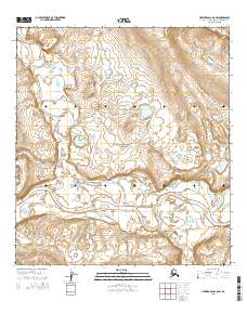
2015 · Howard Pass A-5 SW
USGS Topo · 1:25,000
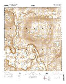
2015 · Howard Pass A-5 SE
USGS Topo · 1:25,000
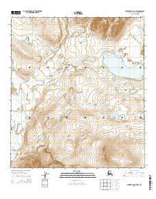
2015 · Howard Pass B-5 SW
USGS Topo · 1:25,000
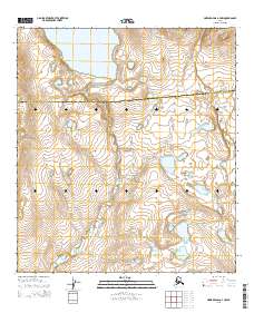
2015 · Howard Pass A-4 NW
USGS Topo · 1:25,000