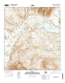
2015 Map of Howard Pass B-5 SW
USGS Topo · Published 2015About this map
The vast protected wilderness of the Noatak National Preserve defines this portion of the Alaska-North Slope Borough. In this sub-arctic environment, the landscape is dictated by a complex drainage network where the Anisak River and several significant creeks, including Uivaksak Cr, Buccaneer Cr, and Primus Cr, carve through the tundra. This area, devoid of permanent settlements or roads, reflects the remote character of the Brooks Range foothills.
Find a feature on this map
13 named features on this map. Tap any name to fly to it.
Don’t see what you’re looking for? This feature index may not catch every label — zoom into the map to look around manually.
Map Details
Editions of this 2015 Howard Pass B-5 SW Map
This is the sole edition of this map. No revisions or reprints were ever made.
Other maps of this area

1951 · Howard Pass
USGS Topo · 1:250,000

1951 · Misheguk Mountain
USGS Topo · 1:250,000

1956 · Howard Pass
USGS Topo · 1:250,000

1956 · Misheguk Mountain
USGS Topo · 1:250,000
1984 · Howard Pass B-5
USGS Topo · 1:63,360
1990 · Misheguk Mountain B-1
USGS Topo · 1:63,360
1990 · Misheguk Mountain A-1
USGS Topo · 1:63,360
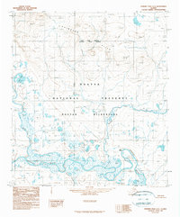
1990 · Howard Pass A-5
USGS Topo · 1:63,360
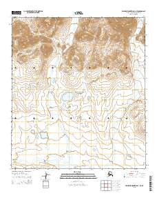
2015 · Misheguk Mountain B-1 NE
USGS Topo · 1:25,000
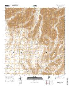
2015 · Howard Pass B-5 NW
USGS Topo · 1:25,000