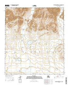
2015 Map of Misheguk Mountain B-1 NE
USGS Topo · Published 2015About this map
Noatak National Preserve encompasses the southern portion of this landscape, where the Anisak River flows westward along the base of the mountain range. This 2015 survey reveals a terrain defined by high-altitude drainage systems, most notably Setting Sun Cr and Stone Ring Cr, which carve through the northern slopes. Centrally located within the preserve is Burial Lake, a significant water feature situated in a high basin. The map illustrates a transitional environment where the steep elevation contours of the Misheguk Mountain area descend into the broader river valley, reflecting the wilderness character of the North Slope. Researchers will find a precise record of these hydrological patterns and the established boundaries of the federal preserve.
Find a feature on this map
11 named features on this map. Tap any name to fly to it.
Don’t see what you’re looking for? This feature index may not catch every label — zoom into the map to look around manually.
Map Details
Editions of this 2015 Misheguk Mountain B-1 NE Map
This is the sole edition of this map. No revisions or reprints were ever made.
Other maps of this area

1951 · Howard Pass
USGS Topo · 1:250,000

1951 · Misheguk Mountain
USGS Topo · 1:250,000

1956 · Howard Pass
USGS Topo · 1:250,000

1956 · Misheguk Mountain
USGS Topo · 1:250,000
1984 · Misheguk Mountain C-1
USGS Topo · 1:63,360
1984 · Howard Pass C-5
USGS Topo · 1:63,360
1984 · Howard Pass B-5
USGS Topo · 1:63,360
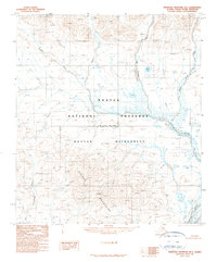
1990 · Misheguk Mountain B-1
USGS Topo · 1:63,360
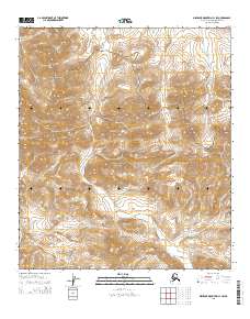
2015 · Misheguk Mountain C-1 SW
USGS Topo · 1:25,000
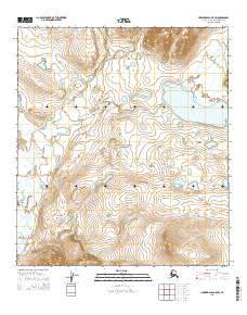
2015 · Howard Pass B-5 SW
USGS Topo · 1:25,000