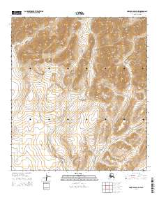
2015 Map of Howard Pass B-5 NW
USGS Topo · Published 2015About this map
Noatak National Preserve encompasses the heart of this landscape, where the headwaters of the Arctic watershed carve through high-elevation terrain. This 2015 survey details the hydrology of the western Brooks Range, specifically tracking the courses of Buccaneer Cr and Primus Cr as they drain south through the preserve. The map is defined by its topographic precision, showing the vast township and range system across t11s r30w and t12s r29w. There are no established roads or settlements in this remote sector of the North Slope Borough, leaving the natural drainage patterns as the primary landmarks for navigation and land management.
Find a feature on this map
7 named features on this map. Tap any name to fly to it.
Don’t see what you’re looking for? This feature index may not catch every label — zoom into the map to look around manually.
Map Details
Editions of this 2015 Howard Pass B-5 NW Map
This is the sole edition of this map. No revisions or reprints were ever made.
Other maps of this area

1951 · Howard Pass
USGS Topo · 1:250,000

1951 · Misheguk Mountain
USGS Topo · 1:250,000

1956 · Howard Pass
USGS Topo · 1:250,000

1956 · Misheguk Mountain
USGS Topo · 1:250,000
1984 · Misheguk Mountain C-1
USGS Topo · 1:63,360
1984 · Howard Pass C-5
USGS Topo · 1:63,360
1984 · Howard Pass B-5
USGS Topo · 1:63,360
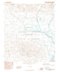
1990 · Misheguk Mountain B-1
USGS Topo · 1:63,360
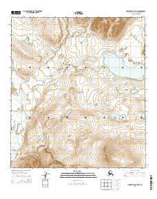
2015 · Howard Pass B-5 SW
USGS Topo · 1:25,000
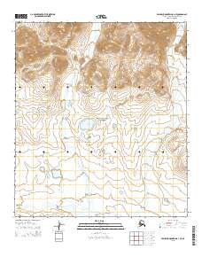
2015 · Misheguk Mountain B-1 NE
USGS Topo · 1:25,000