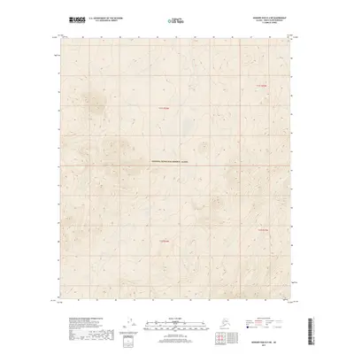
2017 Map of Howard Pass B-4 NE
USGS Topo · Published 2017About this map
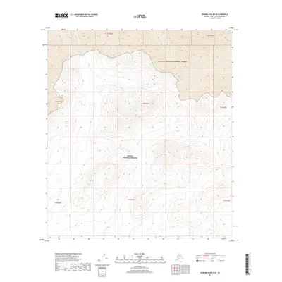
National Petroleum Reserve - Alaska dominates the high-latitude terrain of this North Slope quadrangle, a region defined by its isolation and specialized administrative status. The landscape is primarily shaped by the meandering path of Story Creek, which flows through the central and southern portions of the sheet. Often appearing as Story Cr in its upper reaches, this waterway provides the primary topographic orientation in an area otherwise marked by remote survey boundaries like t11s r26w and t12s r26w. The absence of roads or permanent settlements reflects the preservation of this vast arctic territory for federal resource management, making this document a specific record of public land boundaries and natural hydrography in the American Arctic during the early twenty-first century.
Find a feature on this map
7 named features on this map. Tap any name to fly to it.
Don’t see what you’re looking for? This feature index may not catch every label — zoom into the map to look around manually.
Map Details
Editions of this 2017 Howard Pass B-4 NE Map
This is the sole edition of this map. No revisions or reprints were ever made.
Other maps of this area

1951 · Howard Pass
USGS Topo · 1:250,000

1956 · Howard Pass
USGS Topo · 1:250,000

1984 · Howard Pass B-4
USGS Topo · 1:63,360

1984 · Howard Pass C-4
USGS Topo · 1:63,360

1984 · Howard Pass B-3
USGS Topo · 1:63,360

1984 · Howard Pass C-3
USGS Topo · 1:63,360
2015 · Howard Pass B-4 SW
USGS Topo · 1:25,000
2016 · Howard Pass B-4 NW
USGS Topo · 1:25,000
2016 · Howard Pass C-4 SW
USGS Topo · 1:25,000
2017 · Howard Pass B-4 SE
USGS Topo · 1:25,000