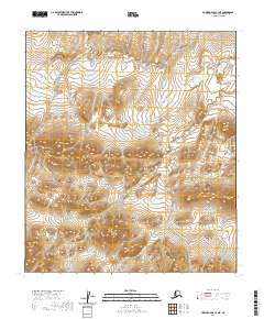
2020 Map of Howard Pass C-3 NE
USGS Topo · Published 2020About this map
Monument Ridge stands as a prominent topographical feature in this section of the North Slope, surrounded by a complex system of high-altitude drainages. The landscape is defined by the headwaters of several streams, most notably Lost Temper Cr in the west and Cula Cr to the east. These watercourses navigate through a series of steep contours and high points, illustrating the hydrologic patterns of the Arctic interior. The map illustrates a remote wilderness defined by its physical geography rather than human infrastructure, as evidenced by the lack of roads or established settlements. Researchers of the region's physical geography can trace the precise flow of the minor tributaries that feed into these larger creek systems within the Howard Pass area.
Find a feature on this map
8 named features on this map. Tap any name to fly to it.
Don’t see what you’re looking for? This feature index may not catch every label — zoom into the map to look around manually.
Map Details
Editions of this 2020 Howard Pass C-3 NE Map
This is the sole edition of this map. No revisions or reprints were ever made.
Other maps of this area

1951 · Howard Pass
USGS Topo · 1:250,000

1956 · Howard Pass
USGS Topo · 1:250,000
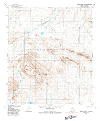
1984 · Howard Pass C-2
USGS Topo · 1:63,360
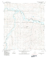
1984 · Howard Pass D-3
USGS Topo · 1:63,360
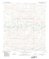
1984 · Howard Pass D-2
USGS Topo · 1:63,360

1984 · Howard Pass C-3
USGS Topo · 1:63,360
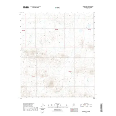
2017 · Howard Pass C-3 NE
USGS Topo · 1:25,000
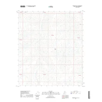
2017 · Howard Pass D-3 SE
USGS Topo · 1:25,000
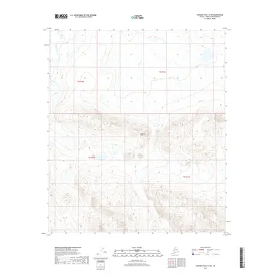
2017 · Howard Pass C-3 NW
USGS Topo · 1:25,000
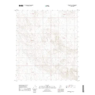
2017 · Howard Pass C-3 SW
USGS Topo · 1:25,000