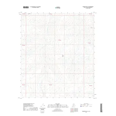
2017 Map of Howard Pass D-3 SE
USGS Topo · Published 2017About this map
Lost Temper Creek meanders through this remote portion of the North Slope, defining the drainage patterns of a landscape dominated by significant topographical rises. To the northwest, Tunugarat Hill stands as a prominent landmark, while Emnavak Ridge runs through the central portion of the quadrangle. The map is primarily organized by the Public Land Survey System, showing several townships including t7s r23w and t8s r23w. The eastern edge of the survey area is marked by Atlik Hill, highlighting the rolling elevation changes typical of this arctic region. This 2017 data provides a clear record of the natural hydrology and landform elevations before any further environmental or developmental shifts occur in the borough.
Find a feature on this map
13 named features on this map. Tap any name to fly to it.
Don’t see what you’re looking for? This feature index may not catch every label — zoom into the map to look around manually.
Map Details
Editions of this 2017 Howard Pass D-3 SE Map
This is the sole edition of this map. No revisions or reprints were ever made.
Other maps of this area

1951 · Howard Pass
USGS Topo · 1:250,000

1956 · Howard Pass
USGS Topo · 1:250,000
1984 · Howard Pass C-2
USGS Topo · 1:63,360
1984 · Howard Pass D-3
USGS Topo · 1:63,360
1984 · Howard Pass D-2
USGS Topo · 1:63,360

1984 · Howard Pass C-3
USGS Topo · 1:63,360
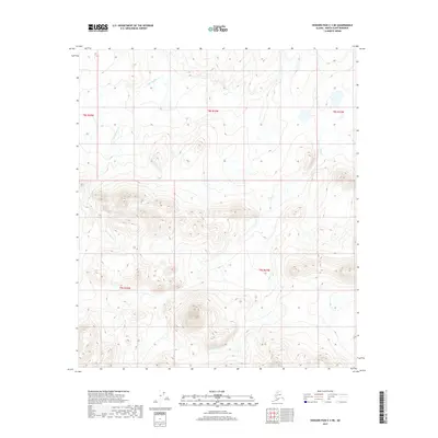
2017 · Howard Pass C-3 NE
USGS Topo · 1:25,000
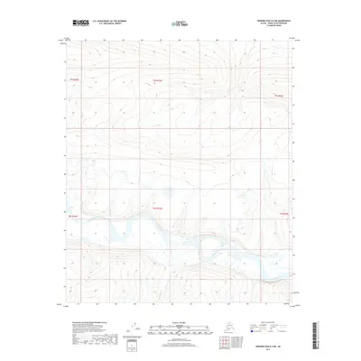
2017 · Howard Pass D-3 NE
USGS Topo · 1:25,000
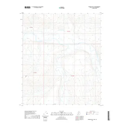
2017 · Howard Pass D-3 NW
USGS Topo · 1:25,000
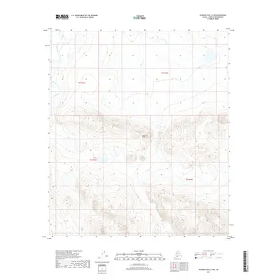
2017 · Howard Pass C-3 NW
USGS Topo · 1:25,000