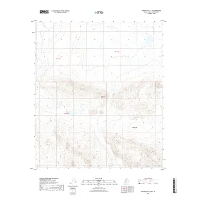
2017 Map of Howard Pass C-3 NW
USGS Topo · Published 2017About this map
Monument Ridge anchors the central landscape of this North Slope interior region, defining the topographic divide between local drainage systems. The survey details a remote arctic wilderness where the headwaters of the Kuna River wind through the western reaches, while the branching system of Cutaway Cr carves through the eastern terrain. This 2017 data captures the untouched character of the Brooks Range foothills, illustrating a complex network of seasonal watercourses and ridges within the established boundaries of t8s r25w, t8s r24w, t9s r25w, and t9s r24w. The map serves as a primary record of landform and hydrography in a territory largely devoid of human infrastructure, making it a critical reference for understanding the physical geography of this corner of the North Slope Borough.
Find a feature on this map
7 named features on this map. Tap any name to fly to it.
Don’t see what you’re looking for? This feature index may not catch every label — zoom into the map to look around manually.
Map Details
Editions of this 2017 Howard Pass C-3 NW Map
This is the sole edition of this map. No revisions or reprints were ever made.
Other maps of this area

1951 · Howard Pass
USGS Topo · 1:250,000

1956 · Howard Pass
USGS Topo · 1:250,000
1984 · Howard Pass D-4
USGS Topo · 1:63,360
1984 · Howard Pass D-3
USGS Topo · 1:63,360

1984 · Howard Pass C-4
USGS Topo · 1:63,360

1984 · Howard Pass C-3
USGS Topo · 1:63,360
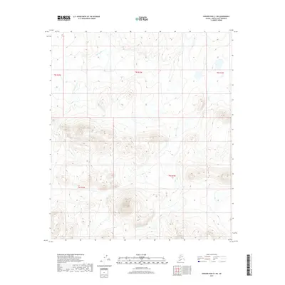
2017 · Howard Pass C-3 NE
USGS Topo · 1:25,000
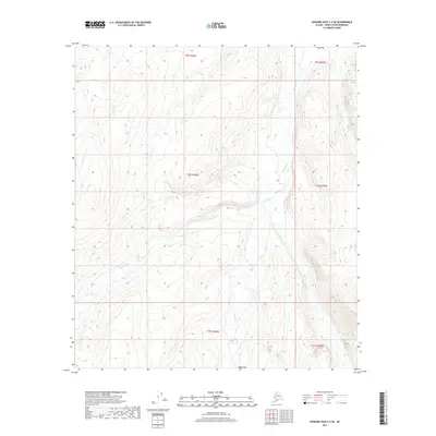
2017 · Howard Pass C-4 SE
USGS Topo · 1:25,000
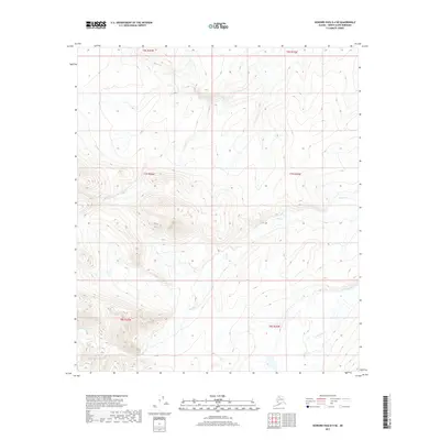
2017 · Howard Pass D-4 SE
USGS Topo · 1:25,000
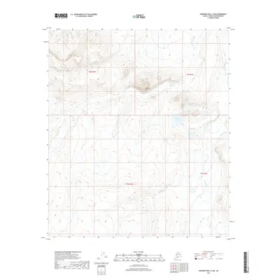
2017 · Howard Pass C-4 NE
USGS Topo · 1:25,000