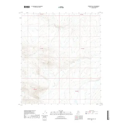
2017 Map of Howard Pass D-4 SE
USGS Topo · Published 2017About this map
Anuk Creek meanders through the drainages of the North Slope, defining the hydrologic character of this remote Alaskan terrain. This 2017 survey by the U.S. Geological Survey captures the sparse, high-latitude landscape before the spring thaws, where water flows are primary landmarks. In the southeastern portion of the map, Swayback Creek cuts across the township boundaries of T8S R25W. The area is marked by significant topographical relief, with contour lines illustrating the ridges and valleys that dictate the path of these Arctic waterways. The absence of roads or established settlements underscores the wild nature of the Howard Pass region, making these named water bodies critical points of reference for navigation and environmental study.
Find a feature on this map
8 named features on this map. Tap any name to fly to it.
Don’t see what you’re looking for? This feature index may not catch every label — zoom into the map to look around manually.
Map Details
Editions of this 2017 Howard Pass D-4 SE Map
This is the sole edition of this map. No revisions or reprints were ever made.
Other maps of this area

1951 · Howard Pass
USGS Topo · 1:250,000

1956 · Howard Pass
USGS Topo · 1:250,000
1984 · Howard Pass D-4
USGS Topo · 1:63,360
1984 · Howard Pass D-3
USGS Topo · 1:63,360

1984 · Howard Pass C-4
USGS Topo · 1:63,360

1984 · Howard Pass C-3
USGS Topo · 1:63,360
2015 · Howard Pass D-4 NW
USGS Topo · 1:25,000
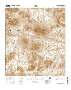
2016 · Howard Pass C-4 NW
USGS Topo · 1:25,000
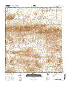
2016 · Howard Pass D-4 SW
USGS Topo · 1:25,000
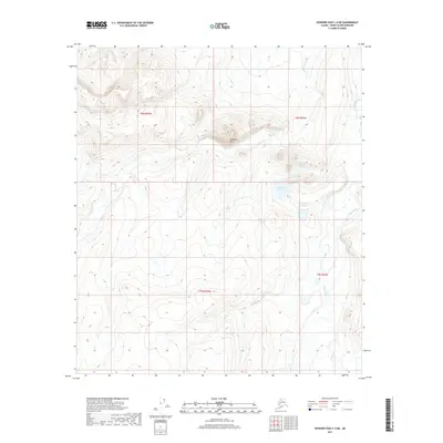
2017 · Howard Pass C-4 NE
USGS Topo · 1:25,000