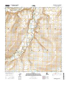
2016 Map of Howard Pass D-1 SW
USGS Topo · Published 2016About this map
Colville River flows across the northern edge of this North Slope landscape, marking a significant hydrologic feature in this Arctic region. The terrain is defined by the winding course of the Ipnavik River, which meanders through the central and southern sections of the quadrangle. This hydrographic network includes Medial Cr, a tributary contributing to the complex drainage patterns of the area. Toward the southeast, the Smith Mountain Lakes provide a distinct cluster of water bodies amidst the higher elevations. The map provides a precise view of the drainage basins and topography as they existed in the early 21st century, showing the natural state of the land before any major human infrastructure or settlement altered these remote water systems.
Find a feature on this map
5 named features on this map. Tap any name to fly to it.
Don’t see what you’re looking for? This feature index may not catch every label — zoom into the map to look around manually.
Map Details
Editions of this 2016 Howard Pass D-1 SW Map
This is the sole edition of this map. No revisions or reprints were ever made.
Other maps of this area

1951 · Howard Pass
USGS Topo · 1:250,000

1956 · Howard Pass
USGS Topo · 1:250,000

1984 · Howard Pass D-1
USGS Topo · 1:63,360

1984 · Howard Pass C-1
USGS Topo · 1:63,360
1984 · Howard Pass C-2
USGS Topo · 1:63,360
1984 · Howard Pass D-2
USGS Topo · 1:63,360
2016 · Howard Pass D-1 SE
USGS Topo · 1:25,000
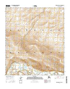
2016 · Howard Pass D-2 NE
USGS Topo · 1:25,000
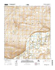
2016 · Howard Pass D-1 NW
USGS Topo · 1:25,000
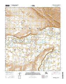
2016 · Howard Pass D-1 NE
USGS Topo · 1:25,000