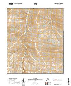
2020 Map of Howard Pass D-3 SE
USGS Topo · Published 2020About this map
Lost Temper Creek meanders through this portion of the North Slope, serving as the primary drainage for a landscape defined by expansive topographic relief. The terrain is anchored by the prominent Emnavak Ridge near the center of the sheet, while Tunugarat Hill and Atlik Hill stand as distinct landmarks at the northern periphery. This 2020 survey documents the precise township and range boundaries that govern this Arctic expanse, including t7s r23w and t8s r23w. The map illustrates a largely undisturbed hydrological and geological environment, where the winding path of Lost Temper Creek provides a clear record of the area's natural drainage patterns before they reach the larger coastal systems further north.
Find a feature on this map
13 named features on this map. Tap any name to fly to it.
Don’t see what you’re looking for? This feature index may not catch every label — zoom into the map to look around manually.
Map Details
Editions of this 2020 Howard Pass D-3 SE Map
This is the sole edition of this map. No revisions or reprints were ever made.
Other maps of this area

1951 · Howard Pass
USGS Topo · 1:250,000

1956 · Howard Pass
USGS Topo · 1:250,000
1984 · Howard Pass C-2
USGS Topo · 1:63,360
1984 · Howard Pass D-3
USGS Topo · 1:63,360
1984 · Howard Pass D-2
USGS Topo · 1:63,360

1984 · Howard Pass C-3
USGS Topo · 1:63,360
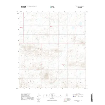
2017 · Howard Pass C-3 NE
USGS Topo · 1:25,000
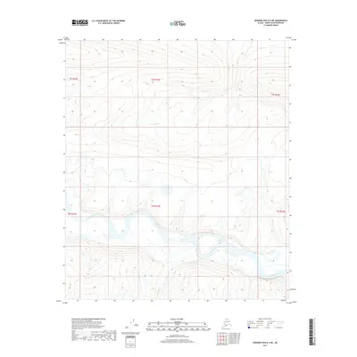
2017 · Howard Pass D-3 NE
USGS Topo · 1:25,000
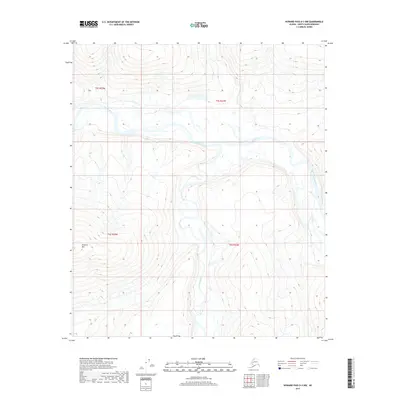
2017 · Howard Pass D-3 NW
USGS Topo · 1:25,000
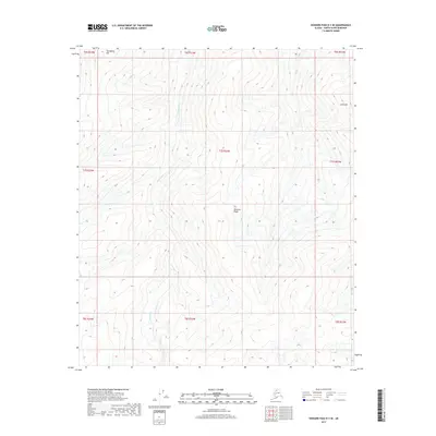
2017 · Howard Pass D-3 SE
USGS Topo · 1:25,000