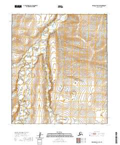
2020 Map of Howard Pass D-3 SW
USGS Topo · Published 2020About this map
Kuna River dominates this northern landscape, winding through the western half of the territory as the primary drainage for the surrounding terrain. To the east, the topography is defined by the prominent Kuakat Ridge, which provides a significant rise above the river valley. The hydrological network is further characterized by several named tributaries, including Cutaway Cr and Anik Cr, which feed into the larger river system from the east and west respectively. In the southern portion of the sheet, Swayback Cr makes a brief appearance, contributing to the complex water patterns typical of the North Slope region. This 2020 topographic record highlights the isolation and hydrological importance of this Arctic drainage basin within the North Slope Borough.
Find a feature on this map
11 named features on this map. Tap any name to fly to it.
Don’t see what you’re looking for? This feature index may not catch every label — zoom into the map to look around manually.
Map Details
Editions of this 2020 Howard Pass D-3 SW Map
This is the sole edition of this map. No revisions or reprints were ever made.
Other maps of this area

1951 · Howard Pass
USGS Topo · 1:250,000

1956 · Howard Pass
USGS Topo · 1:250,000
1984 · Howard Pass D-4
USGS Topo · 1:63,360
1984 · Howard Pass D-3
USGS Topo · 1:63,360

1984 · Howard Pass C-4
USGS Topo · 1:63,360

1984 · Howard Pass C-3
USGS Topo · 1:63,360
2017 · Howard Pass C-3 NE
USGS Topo · 1:25,000
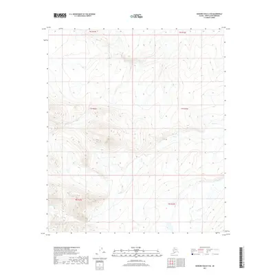
2017 · Howard Pass D-4 SE
USGS Topo · 1:25,000
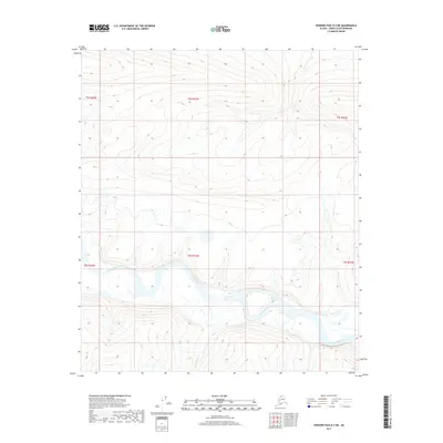
2017 · Howard Pass D-3 NE
USGS Topo · 1:25,000
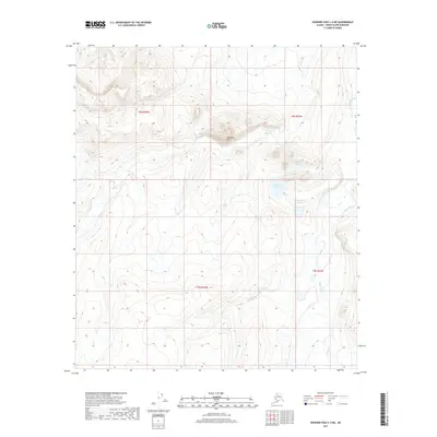
2017 · Howard Pass C-4 NE
USGS Topo · 1:25,000