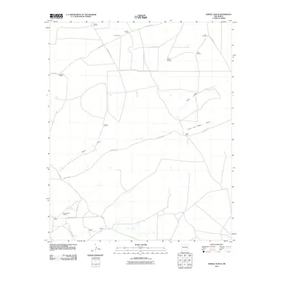
2010 Map of Howell Ranch
USGS Topo · Published 2010About this map
Howell Ranch and Gammill Ranch anchor this arid ranching landscape in Chaves County, where water management is the primary driver of settlement patterns. The map reveals an extensive network of windmills, such as Grimes Windmill, Blair Windmill, and the curiously named Nut Windmill, which are essential for sustaining livestock across this dry expanse. These structures are often located near the ephemeral drainage systems of White Draw and the South Fork White Draw.
Find a feature on this map
24 named features on this map. Tap any name to fly to it.
Don’t see what you’re looking for? This feature index may not catch every label — zoom into the map to look around manually.
Map Details
Editions of this 2010 Howell Ranch Map
This is the sole edition of this map. No revisions or reprints were ever made.
Other maps of this area

1954 · Fort Sumner
USGS Topo · 1:250,000

1954 · Clovis
USGS Topo · 1:250,000

1954 · Brownfield
USGS Topo · 1:250,000

1955 · Roswell
USGS Topo · 1:250,000

1958 · Brownfield
USGS Topo · 1:250,000

1958 · Fort Sumner
USGS Topo · 1:250,000

1958 · Clovis
USGS Topo · 1:250,000

1958 · Roswell
USGS Topo · 1:250,000

1962 · Roswell
USGS Topo · 1:250,000

1962 · Brownfield
USGS Topo · 1:250,000