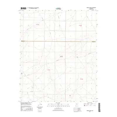
2017 Map of Howell Ranch
USGS Topo · Published 2017About this map
Howell Ranch serves as a lonely landmark in this high plains region where Chaves and De Baca counties meet. The landscape is defined by the ephemeral drainage patterns of White Draw and the South Fork White Draw, which cut through the open rangeland. Transportation is limited to a grid of rural routes such as San Patricio Rd and Rambling Rd, indicating the sparse settlement and large-scale ranching operations typical of this part of New Mexico. In the southern portion of the quadrangle, Bojax Hdqts Rd and Sand Draw further illustrate the remote character of the terrain, where water sources and ranch headquarters dictate the placement of human infrastructure across the vast sections of the Public Land Survey System.
Find a feature on this map
24 named features on this map. Tap any name to fly to it.
Don’t see what you’re looking for? This feature index may not catch every label — zoom into the map to look around manually.
Map Details
Editions of this 2017 Howell Ranch Map
This is the sole edition of this map. No revisions or reprints were ever made.
Other maps of this area

1954 · Fort Sumner
USGS Topo · 1:250,000

1954 · Clovis
USGS Topo · 1:250,000

1954 · Brownfield
USGS Topo · 1:250,000

1955 · Roswell
USGS Topo · 1:250,000

1958 · Brownfield
USGS Topo · 1:250,000

1958 · Fort Sumner
USGS Topo · 1:250,000

1958 · Clovis
USGS Topo · 1:250,000

1958 · Roswell
USGS Topo · 1:250,000

1962 · Roswell
USGS Topo · 1:250,000

1962 · Brownfield
USGS Topo · 1:250,000