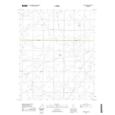
2020 Map of Howell Ranch
USGS Topo · Published 2020About this map
The Howell Ranch vicinity of Chaves County and De Baca County highlights a high-plains landscape defined by seasonal watercourses and rural ranching infrastructure. This area, documented in 2020, is bifurcated by the county line and characterized by several significant drainage systems, including White Draw, the South Fork White Draw, and Sand Draw in the south. The network of local roads reveals the land use patterns of this region, with thoroughfares such as San Patricio Rd and the specifically named Bojax Hdqts Rd providing access to isolated ranching headquarters. These routes, alongside others like Rambling Rd, connect the disparate sections of the T2S and T3S townships, illustrating how modern transportation follows the subtle contours of the New Mexico plains.
Find a feature on this map
21 named features on this map. Tap any name to fly to it.
Don’t see what you’re looking for? This feature index may not catch every label — zoom into the map to look around manually.
Map Details
Editions of this 2020 Howell Ranch Map
This is the sole edition of this map. No revisions or reprints were ever made.
Other maps of this area

1954 · Fort Sumner
USGS Topo · 1:250,000

1954 · Clovis
USGS Topo · 1:250,000

1954 · Brownfield
USGS Topo · 1:250,000

1955 · Roswell
USGS Topo · 1:250,000

1958 · Brownfield
USGS Topo · 1:250,000

1958 · Fort Sumner
USGS Topo · 1:250,000

1958 · Clovis
USGS Topo · 1:250,000

1958 · Roswell
USGS Topo · 1:250,000

1962 · Roswell
USGS Topo · 1:250,000

1962 · Brownfield
USGS Topo · 1:250,000