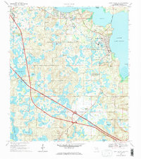
1969 Map of Howey In The Hills
USGS Topo · Published 1971About this map
Howey In The Hills sits on the western shores of Little Lake Harris, serving as a focal point for this late-1960s survey of Lake County. The landscape is defined by its citrus-industry infrastructure and educational institutions, including the Howey Academy and the University of Florida State Experimental Farm. Transportation routes like the Seaboard Coast Line railroad and the Floridas Turnpike cut through a terrain heavily pocketed by water bodies such as Turkey Lake, Mulehead Lake, and Trout Lake.
Find a feature on this map
55 named features on this map. Tap any name to fly to it.
Don’t see what you’re looking for? This feature index may not catch every label — zoom into the map to look around manually.
Map Details
Editions of this 1969 Howey In The Hills Map
2 editions found
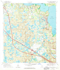
Other maps of this area

1955 · Orlando
USGS Topo · 1:250,000

1957 · Orlando
USGS Topo · 1:250,000

1958 · Orlando
USGS Topo · 1:250,000

1962 · Orlando
USGS Topo · 1:250,000

1962 · Clermont East
USGS Topo · 1:24,000

1962 · Astatula
USGS Topo · 1:24,000

1965 · Leesburg East
USGS Topo · 1:24,000

1966 · Leesburg West
USGS Topo · 1:24,000
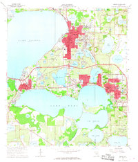
1966 · Eustis
USGS Topo · 1:24,000
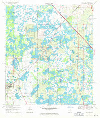
1969 · Center Hill
USGS Topo · 1:24,000