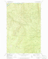
1969 Map of Hoyt Mountain
USGS Topo · Published 1986About this map
The St Joe River winds through the northern edge of this Shoshone County landscape, shadowed by the tracks of the C M St P & P railroad. Most of the terrain is defined by the high ridges and deep drainages of the St Joe National Forest, where the complex topography rises to prominent summits like Hoyt Mountain and Fishhook Peak. This late-1960s survey records a wilderness shaped by timber and fire management, connected by a network of Pack Trails and Jeep Trails rather than established highways.
Find a feature on this map
31 named features on this map. Tap any name to fly to it.
Don’t see what you’re looking for? This feature index may not catch every label — zoom into the map to look around manually.
Map Details
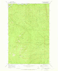
Editions of this 1969 Hoyt Mountain Map
2 editions found
Other maps of this area

1914 · Avery
USGS Topo · 1:125,000

1917 · Avery
USGS Topo · 1:125,000

1955 · Spokane
USGS Topo · 1:250,000

1956 · Wallace
USGS Topo · 1:250,000

1957 · Wallace
USGS Topo · 1:62,500

1957 · Calder
USGS Topo · 1:62,500

1958 · Spokane
USGS Topo · 1:250,000

1960 · Wallace
USGS Topo · 1:250,000

1969 · Marble Mountain
USGS Topo · 1:24,000

1969 · Grandmother Mtn
USGS Topo · 1:24,000