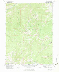
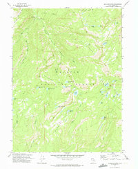
1972 Map of Hoyt Peak
USGS Topo · Published 1983About this map
Samak marks the southwestern edge of this high-elevation terrain within the Wasatch National Forest, where the landscape is defined by the steep transition from the Mahogany Hills to prominent summits like Hoyt Peak and Castle Peak. The drainage patterns are clearly established by the Weber River and its various tributaries, including the South Fork and Beaver Creek. Human activity is concentrated along these watercourses, evidenced by the Yellow Pine Campground and the Shingle Mill Flat, indicating a history of timber work and early outdoor recreation in the canyon systems.
Find a feature on this map
39 named features on this map. Tap any name to fly to it.
Don’t see what you’re looking for? This feature index may not catch every label — zoom into the map to look around manually.
Map Details
Editions of this 1972 Hoyt Peak Map
3 editions found
Other maps of this area

1885 · Salt Lake
USGS Topo · 1:250,000

1900 · Coalville
USGS Topo · 1:125,000

1903 · Coalville
USGS Topo · 1:125,000

1954 · Salt Lake City
USGS Topo · 1:250,000

1958 · Salt Lake City
USGS Topo · 1:250,000

1960 · Salt Lake City
USGS Topo · 1:250,000

1967 · Francis
USGS Topo · 1:24,000

1967 · Kamas
USGS Topo · 1:24,000
1967 · Crandall Canyon
USGS Topo · 1:24,000
1972 · Erickson Basin
USGS Topo · 1:24,000