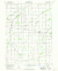
1960 Map of Hoytville
USGS Topo · Published 1968About this map
Baltimore and Ohio rail lines cut a diagonal path across this Northwest Ohio landscape, serving as a primary corridor for the small agricultural hubs of Hoytville, Hancock, and Deweyville. In the early 1960s, the terrain is defined by a dense network of drainage and creek systems, including the North Branch Portage River and Needles Creek, which illustrate the region's managed water patterns essential for local farming. Cultural landmarks such as Brethren Ch and Bethel Ch provide points of community focus among the grid of township roads. A notable industrial feature is Butlers Mill located near the Wood and Hancock County line, while family-named sites like Thomas Cem offer specific touchpoints for genealogical research. The map also documents the infrastructure of the era, from the Deshler Sewage Disposal plant to the large Pipeline traversing the northern section.
Find a feature on this map
39 named features on this map. Tap any name to fly to it.
Don’t see what you’re looking for? This feature index may not catch every label — zoom into the map to look around manually.
Map Details
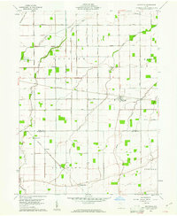
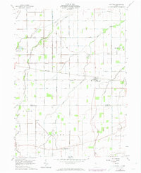
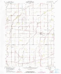
Editions of this 1960 Hoytville Map
4 editions found
Other maps of this area

1901 · Bowling Green
USGS Topo · 1:62,500

1903 · Bowling Green
USGS Topo · 1:62,500

1903 · Findlay
USGS Topo · 1:62,500

1909 · Mc Clure
USGS Topo · 1:62,500

1956 · Toledo
USGS Topo · 1:250,000

1958 · Bowling Green South
USGS Topo · 1:24,000

1960 · Deshler
USGS Topo · 1:24,000

1960 · North Baltimore
USGS Topo · 1:24,000
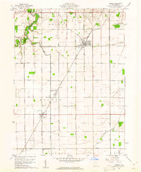
1960 · Weston
USGS Topo · 1:24,000
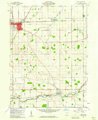
1960 · Leipsic
USGS Topo · 1:24,000