Loading...
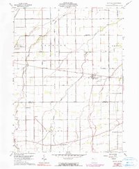
Loading map...1960 Map of Hoytville
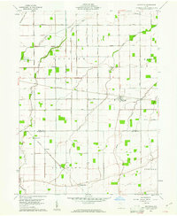
USGS Topo · Published 1990About this map
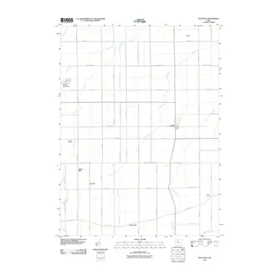
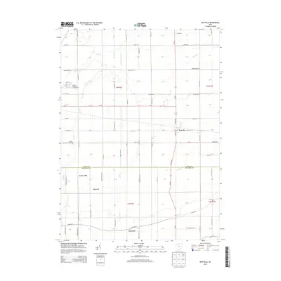
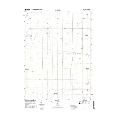
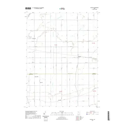
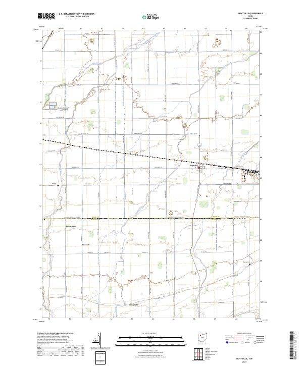
The village of Hoytville serves as the central hub of this Northwest Ohio landscape, situated at the intersection of several local thoroughfares like Hoytville Road and Oil Center Road. The map documents a predominantly agricultural region defined by the organized grid of Congress Lands and the Baltimore and Ohio railroad corridor cutting diagonally through the terrain. Evidence of the area's rural social structure is preserved through labels for Brethren Ch and Bethel Ch, alongside small community centers like Deweyville and Hancock.
Find a feature on this map
29 named features on this map. Tap any name to fly to it.
Don’t see what you’re looking for? This feature index may not catch every label — zoom into the map to look around manually.
Map Details
Date Portrayed1960
Date Published1990
PublisherU.S. Geological Survey
Map TypeTopographic
Scale1:24,000
Physical Dimensions22.06 x 26.86 inches
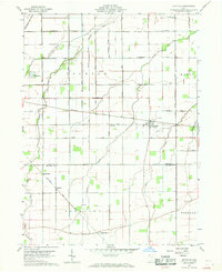
Editions of this 1960 Hoytville Map
4 editions found
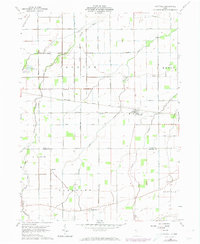
Historical Maps of Hoytville Through Time
6 maps found
Featured Locations
Source Details
SourceU.S. Geological Survey
CopyrightPublic Domain