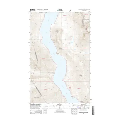
2014 Map of Hozomeen Mountain
USGS Topo · Published 2014About this map
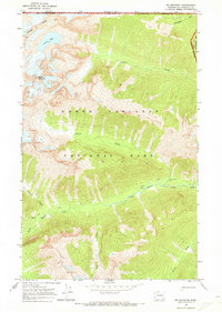
Ross Lake and the Skagit River valley define this remote section of the North Cascade range along the international border between Washington and British Columbia. The landscape is dominated by the massive profile of Hozomeen Mountain and Desolation Peak, areas long managed under the overlapping jurisdictions of Ross Lake National Recreation Area, Mount Baker National Forest, and North Cascades National Park. The shoreline of the reservoir serves as the primary corridor for human activity, with primitive sites like Hozomeen Campground and Cat Island Campground providing access for backcountry travel. Notable landmarks include the Stromberg Cabin and several mountain-fed drainages such as Little Beaver Creek and Arctic Creek that flow from the steep alpine slopes into the lake basin.
Find a feature on this map
32 named features on this map. Tap any name to fly to it.
Don’t see what you’re looking for? This feature index may not catch every label — zoom into the map to look around manually.
Map Details
Editions of this 2014 Hozomeen Mountain Map
This is the sole edition of this map. No revisions or reprints were ever made.
Other maps of this area

1920 · Slate Pass
USGS Topo · 1:125,000

1955 · Concrete
USGS Topo · 1:250,000

1958 · Concrete
USGS Topo · 1:250,000

1962 · Concrete
USGS Topo · 1:250,000

1969 · Skagit Peak
USGS Topo · 1:24,000

1969 · Mt Prophet
USGS Topo · 1:24,000
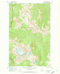
1969 · Jack Mtn
USGS Topo · 1:24,000
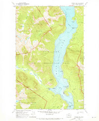
1969 · Pumpkin Mtn.
USGS Topo · 1:24,000
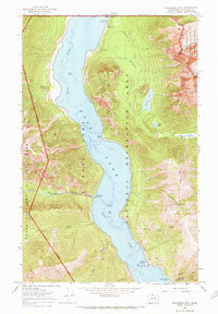
1969 · Hozomeen Mtn
USGS Topo · 1:24,000
1969 · Mt Spickard
USGS Topo · 1:24,000