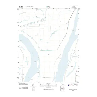
2010 Map of Hubbard Lake
USGS Topo · Published 2010About this map
Mississippi River defines this landscape where Missouri and Kentucky borders entwine along the river's shifting path. The area is marked by numerous oxbow remnants and depressions known locally as holes, such as Ransburgh Hole, Morrison Hole, and Dawson Hole. These geographic features, along with Hubbard Lake and Stonewall Lake, suggest a dynamic history of flood and change in the alluvial plain. Historical river access is evidenced by a series of riverside points including Henderson Landing, Morrison Landing, and La Forge Landing.
Find a feature on this map
39 named features on this map. Tap any name to fly to it.
Don’t see what you’re looking for? This feature index may not catch every label — zoom into the map to look around manually.
Map Details
Editions of this 2010 Hubbard Lake Map
This is the sole edition of this map. No revisions or reprints were ever made.
Other maps of this area

1925 · Reelfoot Lake
USGS Topo · 1:62,500

1939 · Reelfoot Lake
USGS Topo · 1:62,500

1939 · Portageville
USGS Topo · 1:62,500

1939 · New Madrid
USGS Topo · 1:62,500

1939 · Bayouville
USGS Topo · 1:62,500

1951 · Bondurant
USGS Topo · 1:24,000

1951 · New Madrid SE
USGS Topo · 1:24,000

1951 · Hubbard Lake
USGS Topo · 1:24,000

1954 · New Madrid
USGS Topo · 1:62,500

1955 · Portageville
USGS Topo · 1:62,500