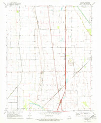
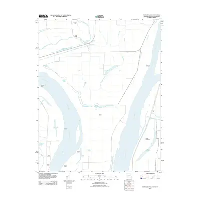
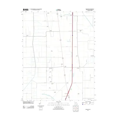
1951 Map of Hubbard Lake
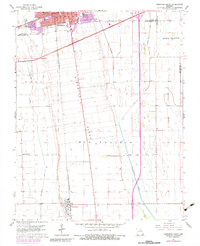
USGS Topo · Published 1964About this map
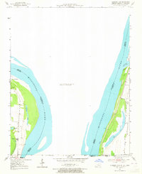
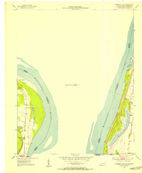
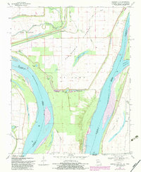
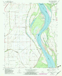
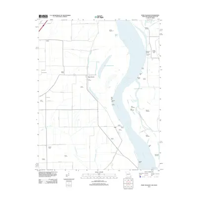
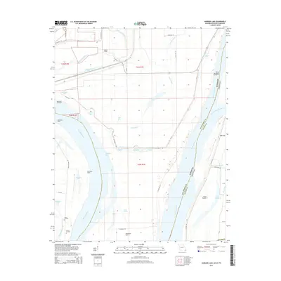
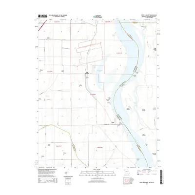
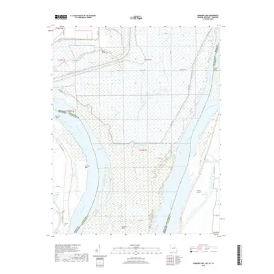
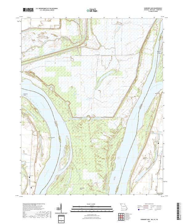
The Mississippi River creates a complex geographic puzzle here, where the river's winding course defines the borders of three states. The landscape is dominated by the Kentucky Bend, an exclave of Kentucky entirely surrounded by Missouri and Tennessee. This 1951 study illustrates the shifting hydrologic environment of the floodplain, where abandoned river channels have transformed into oxbow lakes and sloughs. Features like Stonewall Lake, Washpan Lake, and Lake No 9 mark these former paths of the river. Small settlements like Kentucky Point and Kentucky Bend sit near the water's edge, while a lonely Cem remains as a record of early residents in this low-lying river bottom. Surveyed by plane-table, the map captures the intricate relationship between political boundaries and the ever-changing riverbed.
Find a feature on this map
17 named features on this map. Tap any name to fly to it.
Don’t see what you’re looking for? This feature index may not catch every label — zoom into the map to look around manually.
Map Details
Editions of this 1951 Hubbard Lake Map
2 editions found
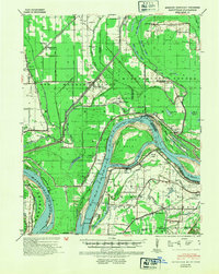
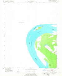
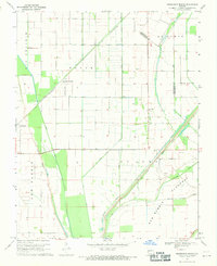
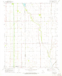
Historical Maps of New Madrid County Through Time
42 maps found
1939 Bayouville
New Madrid County, MO
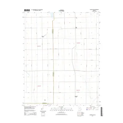
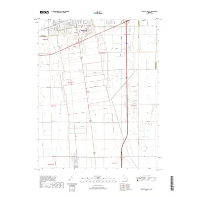
1951 Hubbard Lake
New Madrid County, MO
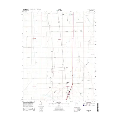
1951 New Madrid SE
New Madrid County, MO

1955 Bayouville
New Madrid County, MO
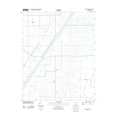
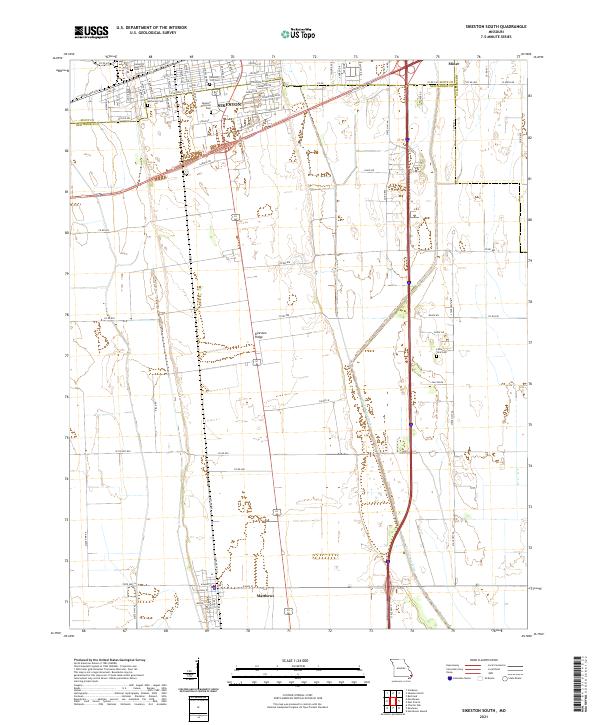
1963 Sikeston South
New Madrid County, MO
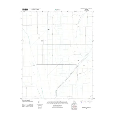
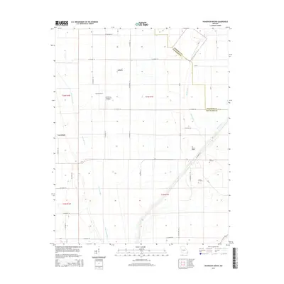
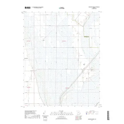
1969 Henderson Mound
New Madrid County, MO
1969 Hubbard Lake
New Madrid County, MO
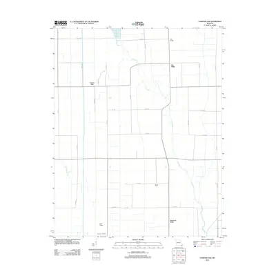
1971 Charter Oak
New Madrid County, MO
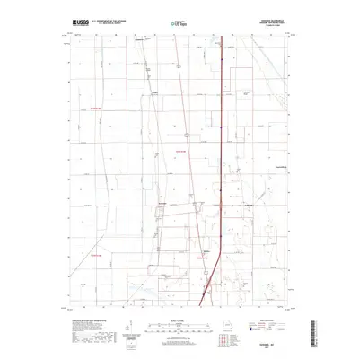
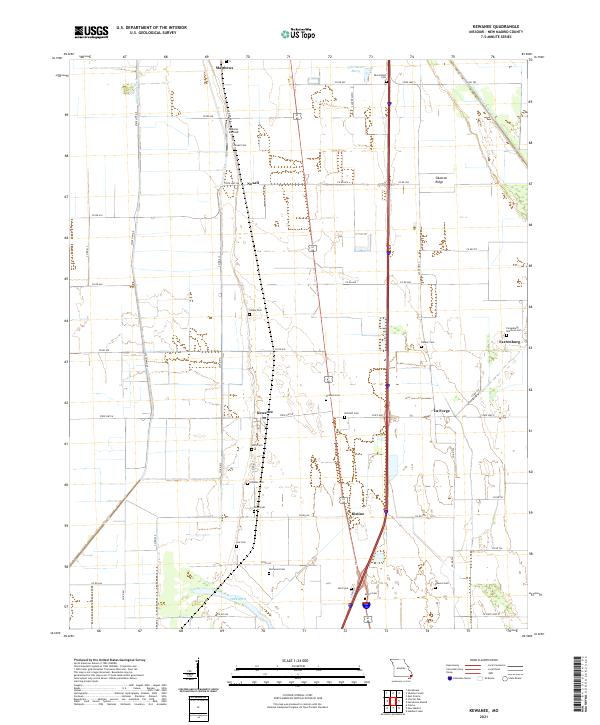
1971 Kewanee
New Madrid County, MO
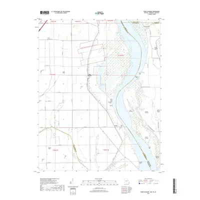
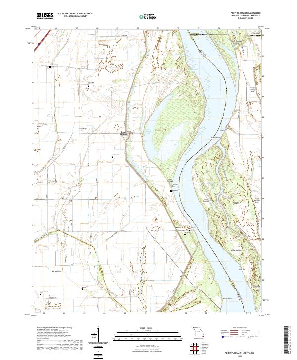
1971 Point Pleasant
New Madrid County, MO

1972 Bayouville
New Madrid County, MO

1978 Boekerton
New Madrid County, MO
2010 Hubbard Lake
New Madrid County, MO
2010 Point Pleasant
New Madrid County, MO
2012 Boekerton
New Madrid County, MO
2012 Charter Oak
New Madrid County, MO
2012 Henderson Mound
New Madrid County, MO
2012 Hubbard Lake
New Madrid County, MO
2012 Kewanee
New Madrid County, MO
2012 Point Pleasant
New Madrid County, MO
2012 Sikeston South
New Madrid County, MO
2015 Boekerton
New Madrid County, MO
2015 Charter Oak
New Madrid County, MO
2015 Henderson Mound
New Madrid County, MO
2015 Hubbard Lake
New Madrid County, MO
2015 Kewanee
New Madrid County, MO
2015 Point Pleasant
New Madrid County, MO
2015 Sikeston South
New Madrid County, MO
2017 Boekerton
New Madrid County, MO
2017 Charter Oak
New Madrid County, MO
2017 Henderson Mound
New Madrid County, MO
2017 Hubbard Lake
New Madrid County, MO
2017 Kewanee
New Madrid County, MO
2017 Point Pleasant
New Madrid County, MO
2017 Sikeston South
New Madrid County, MO
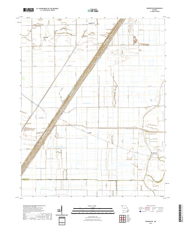
2021 Boekerton
New Madrid County, MO
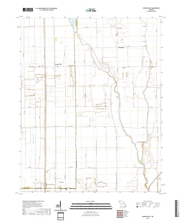
2021 Charter Oak
New Madrid County, MO
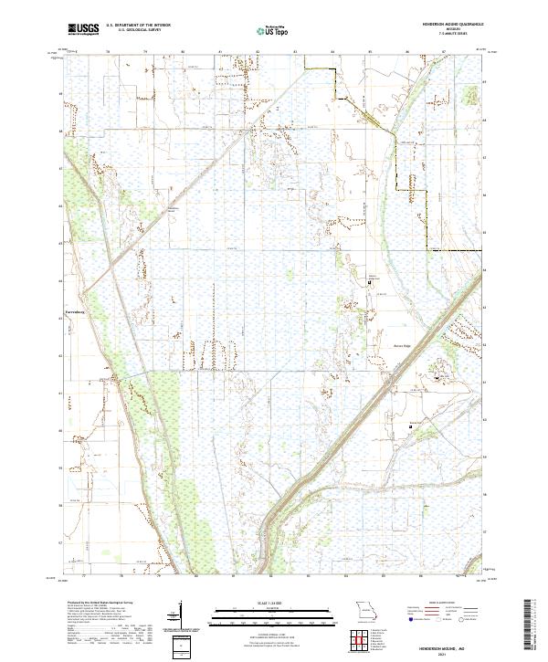
2021 Henderson Mound
New Madrid County, MO
2021 Hubbard Lake
New Madrid County, MO
2021 Kewanee
New Madrid County, MO
2021 Point Pleasant
New Madrid County, MO
2021 Sikeston South
New Madrid County, MO