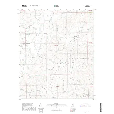
2020 Map of Hubbertville
USGS Topo · Published 2020About this map
Glen Allen and the surrounding hill country of Fayette and Walker Counties are defined by a dense network of creek valleys and family burial grounds. The Sipsey River cuts through the western portion of the landscape, joined by tributaries like Studhorse Cr and Hollingsworth Mill Cr. This area is particularly rich for genealogical research, documenting numerous rural cemeteries including Morris Cem, Berea Cem, and the New River Cem, which appears in multiple locations, suggesting long-standing community ties to the river's drainage basin.
Find a feature on this map
95 named features on this map. Tap any name to fly to it.
Don’t see what you’re looking for? This feature index may not catch every label — zoom into the map to look around manually.
Map Details
Editions of this 2020 Hubbertville Map
This is the sole edition of this map. No revisions or reprints were ever made.
Other maps of this area

1953 · Birmingham
USGS Topo · 1:250,000

1956 · Birmingham
USGS Topo · 1:250,000

1957 · Birmingham
USGS Topo · 1:250,000
1967 · Bankston
USGS Topo · 1:24,000
1967 · Winfield SE
USGS Topo · 1:24,000
1967 · Carbon Hill
USGS Topo · 1:24,000
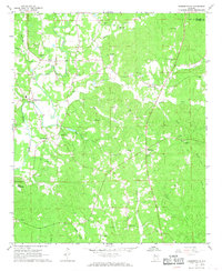
1967 · Hubbertville
USGS Topo · 1:24,000
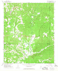
1967 · Glen Allen
USGS Topo · 1:24,000
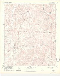
1967 · Berry
USGS Topo · 1:24,000
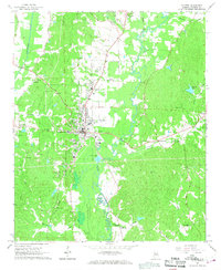
1967 · Fayette
USGS Topo · 1:24,000