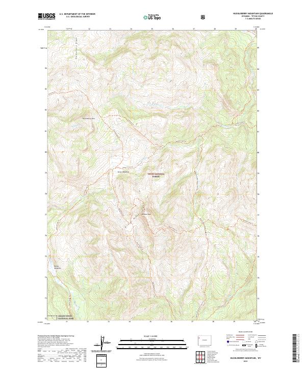
2021 Map of Huckleberry Mountain
USGS Topo · Published 2021About this map
Huckleberry Mtn and the steep terrain of Wildcat Ridge define this high-altitude landscape where the Teton National Forest meets the northern boundary of Grand Teton National Park. The map documents a complex network of backcountry routes, including the Arizona Creek Trl and Wildcat Peak Trl, which provide access to the remote peaks and meadows that characterize this portion of the Teton Range. Settlement is nonexistent in this protected wilderness, marked instead by natural clearings like Brown Meadows and Bailey Meadows. Water drainage is dominated by the headwaters of numerous creeks, most notably Pilgrim Cr, which winds through the southern portion of the quadrangle. The lack of roads and the reliance on named trails such as Sheffield Trl and Coulter Creek Trl highlight the area's role as a preserved corridor for wildlife and high-country exploration.
Find a feature on this map
28 named features on this map. Tap any name to fly to it.
Don’t see what you’re looking for? This feature index may not catch every label — zoom into the map to look around manually.
Map Details
Editions of this 2021 Huckleberry Mountain Map
This is the sole edition of this map. No revisions or reprints were ever made.
Other maps of this area

1885 · Lake
USGS Topo · 1:125,000

1886 · Shoshone
USGS Topo · 1:125,000

1888 · Shoshone
USGS Topo · 1:125,000

1895 · Shoshone
USGS Topo · 1:125,000

1895 · Lake
USGS Topo · 1:125,000

1896 · Lake
USGS Topo · 1:125,000

1899 · Grand Teton
USGS Topo · 1:125,000

1901 · Shoshone
USGS Topo · 1:125,000

1901 · Lake
USGS Topo · 1:125,000

1901 · Grand Teton
USGS Topo · 1:125,000