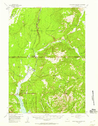
1956 Map of Huckleberry Mountain
USGS Topo · Published 1959About this map
Flagg Ranch serves as a central landmark in this 1950s survey where the Yellowstone National Park and Grand Teton National Park boundaries meet. The geography is dominated by the confluence of the Lewis River and the Snake River, which carves through the Snake River Canyon as it flows south toward Jackson Lake. Geologic activity is visible through features like the Phantom Fumarole on the Pitchstone Plateau and various Hot Springs clustered near the riverbanks.
Find a feature on this map
44 named features on this map. Tap any name to fly to it.
Don’t see what you’re looking for? This feature index may not catch every label — zoom into the map to look around manually.
Map Details
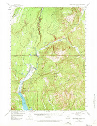
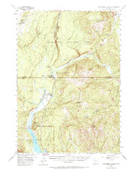
Editions of this 1956 Huckleberry Mountain Map
3 editions found
Other maps of this area

1885 · Lake
USGS Topo · 1:125,000

1886 · Shoshone
USGS Topo · 1:125,000

1888 · Shoshone
USGS Topo · 1:125,000

1895 · Shoshone
USGS Topo · 1:125,000

1895 · Lake
USGS Topo · 1:125,000

1896 · Lake
USGS Topo · 1:125,000

1899 · Grand Teton
USGS Topo · 1:125,000

1901 · Shoshone
USGS Topo · 1:125,000

1901 · Lake
USGS Topo · 1:125,000

1901 · Grand Teton
USGS Topo · 1:125,000