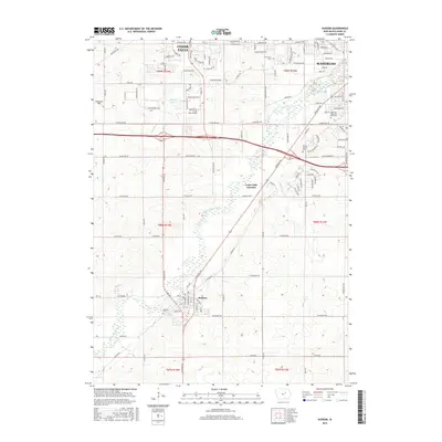
2015 Map of Hudson
USGS Topo · Published 2015About this map
Black Hawk Creek flows southeastward through this part of the Cedar Valley, providing a natural corridor between the expanding urban fringes of Cedar Falls and Waterloo. The 2015 landscape shows a mix of suburban development and remaining agricultural tracts, with modern educational institutions like Kaplan Univ - Cedar Falls Campus and leisure areas such as Witcombe Field punctuating the terrain.
Find a feature on this map
79 named features on this map. Tap any name to fly to it.
Don’t see what you’re looking for? This feature index may not catch every label — zoom into the map to look around manually.
Map Details
Editions of this 2015 Hudson Map
This is the sole edition of this map. No revisions or reprints were ever made.
Other maps of this area

1954 · Waterloo
USGS Topo · 1:250,000

1955 · Waterloo
USGS Topo · 1:250,000

1963 · Buckingham
USGS Topo · 1:24,000

1963 · Hudson
USGS Topo · 1:24,000

1963 · Waterloo South
USGS Topo · 1:24,000

1963 · Eagle Center
USGS Topo · 1:24,000

1963 · Cedar Falls
USGS Topo · 1:24,000

1963 · Waterloo North
USGS Topo · 1:24,000

1971 · Zaneta
USGS Topo · 1:24,000

1971 · Reinbeck
USGS Topo · 1:24,000