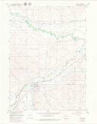
1957 Map of Hudson
USGS Topo · Published 1979About this map
Hudson serves as the central hub of this mid-century landscape, situated at the confluence where the Popo Agie River meets the Little Wind River. The area is defined by its industrial and agricultural infrastructure, evidenced by the numerous irrigation projects like the Sub-Agency Ditch, Coolidge Ditch, and Arapahoe Ditch that draw from the Wind River. A notable historical layer is visible in the transport network, including the Old Hudson Railroad Grade and an Old Railroad Grade snaking through the terrain toward the south. The economic history of the region is further grounded in several Coal Mines and a Coal Mine (Inactive) located south of the town center, while the Wind River Indian Reservation boundary cuts through the local topography, marking a significant jurisdictional division in the Valley.
Find a feature on this map
27 named features on this map. Tap any name to fly to it.
Don’t see what you’re looking for? This feature index may not catch every label — zoom into the map to look around manually.
Map Details
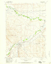
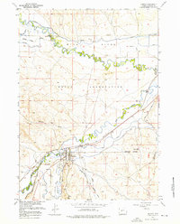
Editions of this 1957 Hudson Map
3 editions found
Other maps of this area

1951 · Mule Butte
USGS Topo · 1:24,000

1951 · Pavillion SE
USGS Topo · 1:24,000

1951 · Riverton West
USGS Topo · 1:24,000

1952 · Hudson
USGS Topo · 1:24,000

1952 · Lander SE
USGS Topo · 1:24,000

1952 · Lander
USGS Topo · 1:24,000

1952 · Lander NW
USGS Topo · 1:24,000

1953 · Ninemile Hill
USGS Topo · 1:24,000

1953 · Arapahoe
USGS Topo · 1:24,000

1955 · Thermopolis
USGS Topo · 1:250,000