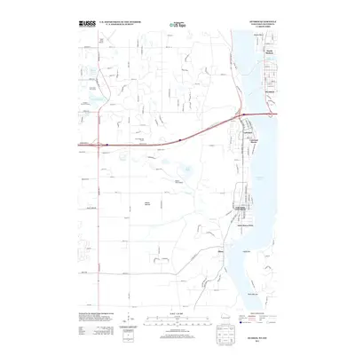
2013 Map of Hudson
USGS Topo · Published 2013About this map
Lake Saint Croix serves as the central focal point of this 2013 survey, dividing the waterfront communities of Wisconsin and Minnesota. On the eastern shore, the city of Hudson and North Hudson are well-established, with Lake Mallalieu feeding into the main channel. To the west, a string of Minnesota river towns including Lakeland, Lakeland Shores, Lake Saint Croix Beach, and Saint Marys Point follow the shoreline, while Afton sits further south near the unique river features of Catfish Bar and Black Bass Bar.
Find a feature on this map
127 named features on this map. Tap any name to fly to it.
Don’t see what you’re looking for? This feature index may not catch every label — zoom into the map to look around manually.
Map Details
Editions of this 2013 Hudson Map
This is the sole edition of this map. No revisions or reprints were ever made.
Other maps of this area

1946 · Hudson
USGS Topo · 1:62,500

1946 · River Falls
USGS Topo · 1:62,500

1948 · New Richmond
USGS Topo · 1:62,500

1948 · Stillwater
USGS Topo · 1:62,500

1949 · New Richmond
USGS Topo · 1:62,500

1949 · River Falls
USGS Topo · 1:62,500

1949 · Hudson
USGS Topo · 1:62,500

1949 · Stillwater
USGS Topo · 1:62,500

1949 · Lake Elmo
USGS Topo · 1:24,000

1949 · Hudson
USGS Topo · 1:24,000