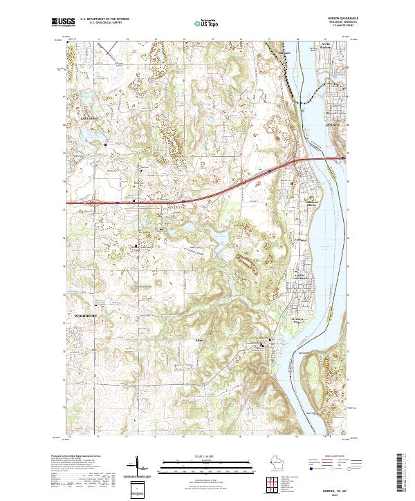
2022 Map of Hudson
USGS Topo · Published 2022About this map
The Saint Croix River serves as the prominent divider between Wisconsin and Minnesota on this 2022 survey, anchoring a landscape of dense residential growth and preserved burial grounds. Along the western bluffs, the transition from the city of Hudson to the smaller riverside communities of Lakeland and Lake St. Croix Beach highlights the regional reliance on the waterway. Notable for its high density of genealogical landmarks, the map identifies numerous historical plots such as the Rentz Cem, Daniel Vollmer Cem, and Fahlstrom Cem. The interior terrain features Bissels Mounds and the winding course of the Valley Branch, while river navigation is marked by hazards and landmarks like Catfish Bar and Black Bass Bar. To the west, the infrastructure surrounding Lake Elmo and Lake Elmo Airport illustrates the suburban expansion characteristic of the early 21st century.
Find a feature on this map
54 named features on this map. Tap any name to fly to it.
Don’t see what you’re looking for? This feature index may not catch every label — zoom into the map to look around manually.
Map Details
Editions of this 2022 Hudson Map
This is the sole edition of this map. No revisions or reprints were ever made.
Other maps of this area

1946 · Hudson
USGS Topo · 1:62,500

1946 · River Falls
USGS Topo · 1:62,500

1948 · New Richmond
USGS Topo · 1:62,500

1948 · Stillwater
USGS Topo · 1:62,500

1949 · New Richmond
USGS Topo · 1:62,500

1949 · River Falls
USGS Topo · 1:62,500

1949 · Hudson
USGS Topo · 1:62,500

1949 · Stillwater
USGS Topo · 1:62,500

1949 · Lake Elmo
USGS Topo · 1:24,000

1949 · Hudson
USGS Topo · 1:24,000