
1904 Map of Hueneme
USGS Topo · Published 1904About this map
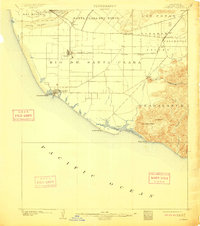
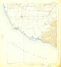
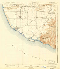
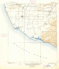
Oxnard and its surroundings appear as a grid-based agricultural landscape just after the turn of the century, dominated by the sprawling ranch lands of the Rio De Santa Clara and Santa Clara Del Norte. The Southern Pacific R. R. serves as the industrial spine of the region, connecting inland settlements like Camarillo and Somis to the coast. Along the Pacific shoreline, the port of Hueneme sits near Hueneme Point, while the southern coast remains largely undeveloped, defined by the tidal reaches of Mugu Laguna and the heights of Laguna Peak.
Find a feature on this map
34 named features on this map. Tap any name to fly to it.
Don’t see what you’re looking for? This feature index may not catch every label — zoom into the map to look around manually.
Map Details
Editions of this 1904 Hueneme Map
5 editions found
Other maps of this area

1900 · Triunfo Pass
USGS Topo · 1:62,500

1900 · Piru
USGS Topo · 1:62,500

1903 · Santa Paula
USGS Topo · 1:62,500

1903 · Camulos
USGS Topo · 1:125,000

1904 · Ventura
USGS Topo · 1:62,500

1921 · Piru
USGS Topo · 1:62,500

1921 · Triunfo Pass
USGS Topo · 1:62,500

1932 · Arroyo Sequit
USGS Topo · 1:24,000

1941 · Ventura
USGS Topo · 1:62,500

1941 · Piru
USGS Topo · 1:62,500