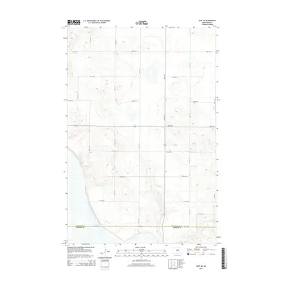
2014 Map of Huff NE
USGS Topo · Published 2014About this map
Glencoe Cr meanders across the southeastern corner of this North Dakota landscape, marking one of the few distinct water features in a territory defined by high prairie and depression wetlands. The area is gridded by an extensive network of rural section-line roads, such as 132nd St Se and 115th Ave Se, reflecting the long-established township-and-range surveying system. This 2014 survey documents the boundary between Burleigh Co and Emmons Co, which runs along 154th Ave Se. The prominent east-west artery of Moffit Rd cuts through the center of the quadrangle, serving as a primary connector for the dispersed agricultural homesteads and farms that characterize this portion of the northern plains.
Find a feature on this map
18 named features on this map. Tap any name to fly to it.
Don’t see what you’re looking for? This feature index may not catch every label — zoom into the map to look around manually.
Map Details
Editions of this 2014 Huff NE Map
This is the sole edition of this map. No revisions or reprints were ever made.
Other maps of this area

1907 · Bismarck
USGS Topo · 1:125,000

1951 · Menoken SW
USGS Topo · 1:24,000

1951 · Menoken
USGS Topo · 1:62,500

1951 · McKenzie
USGS Topo · 1:62,500

1954 · Bismarck
USGS Topo · 1:250,000

1958 · Bismarck
USGS Topo · 1:250,000

1962 · Sugarloaf Butte
USGS Topo · 1:24,000

1962 · Menoken SW
USGS Topo · 1:24,000

1971 · Moffit SW
USGS Topo · 1:24,000

1971 · Huff
USGS Topo · 1:24,000