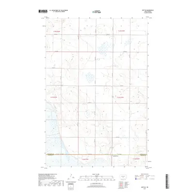
2017 Map of Huff NE
USGS Topo · Published 2017About this map
Lake Oahe defines the western edge of this landscape, its waters meeting the rolling terrain of the Missouri River valley. The area is characterized by a precise grid of rural roads, including Moffit Rd and 154th Ave SE, which serve the agricultural townships along the border of Burleigh and Emmons Counties. Evidence of early community life is preserved at the Sloan Memorial Presbyterian Cem near the southern boundary, a significant point of interest for those tracing family roots in this prairie region. Small drainage features like Gleneae Cr cut through the eastern sections, illustrating the natural water management of the plains before they reach the main reservoir.
Find a feature on this map
19 named features on this map. Tap any name to fly to it.
Don’t see what you’re looking for? This feature index may not catch every label — zoom into the map to look around manually.
Map Details
Editions of this 2017 Huff NE Map
This is the sole edition of this map. No revisions or reprints were ever made.
Other maps of this area

1907 · Bismarck
USGS Topo · 1:125,000

1951 · Menoken SW
USGS Topo · 1:24,000

1951 · Menoken
USGS Topo · 1:62,500

1951 · McKenzie
USGS Topo · 1:62,500

1954 · Bismarck
USGS Topo · 1:250,000

1958 · Bismarck
USGS Topo · 1:250,000

1962 · Sugarloaf Butte
USGS Topo · 1:24,000

1962 · Menoken SW
USGS Topo · 1:24,000

1971 · Moffit SW
USGS Topo · 1:24,000

1971 · Huff
USGS Topo · 1:24,000