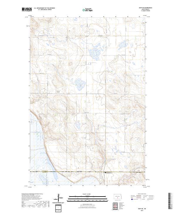
2024 Map of Huff NE
USGS Topo · Published 2024About this map
The rolling prairies of southern Burleigh County are defined by a grid of rural section roads and scattered prairie wetlands. Located near the southern boundary with Emmons County, this area is home to the Sloan Memorial Presbyterian Cem, a significant site for family historians in the region. The landscape is primarily agrarian, marked by the drainage of Glencoe Creek in the southeast and the presence of the private Kalberer Airport. Section lines such as Moffit Rd and 154th Ave SE crisscross the township divisions, providing access to the isolated homesteads and farmsteads that characterize this part of the North Dakota plains. The map illustrates a traditional Great Plains settlement pattern where community life was anchored by local cemeteries and small-scale infrastructure.
Find a feature on this map
24 named features on this map. Tap any name to fly to it.
Don’t see what you’re looking for? This feature index may not catch every label — zoom into the map to look around manually.
Map Details
Editions of this 2024 Huff NE Map
This is the sole edition of this map. No revisions or reprints were ever made.
Other maps of this area

1907 · Bismarck
USGS Topo · 1:125,000

1951 · Menoken SW
USGS Topo · 1:24,000

1951 · Menoken
USGS Topo · 1:62,500

1951 · McKenzie
USGS Topo · 1:62,500

1954 · Bismarck
USGS Topo · 1:250,000

1958 · Bismarck
USGS Topo · 1:250,000

1962 · Sugarloaf Butte
USGS Topo · 1:24,000

1962 · Menoken SW
USGS Topo · 1:24,000

1971 · Moffit SW
USGS Topo · 1:24,000

1971 · Huff
USGS Topo · 1:24,000