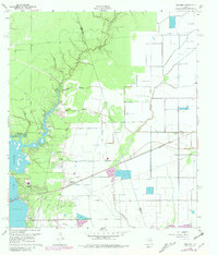
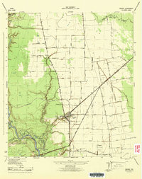
1960 Map of Huffman
USGS Topo · Published 1980About this map
Lake Houston dominates the southwestern landscape of this survey, defining the shoreline and recreational character near Lakewood Heights. Further inland, the terrain is deeply marked by a complex network of waterways, including Luce Bayou, Mexican Gully, and Cedar Bayou, which historically shaped the placement of early settlements. The presence of the Luce (Site) and the Fish Hatchery reflects the local reliance on the river and lake ecosystems.
Find a feature on this map
33 named features on this map. Tap any name to fly to it.
Don’t see what you’re looking for? This feature index may not catch every label — zoom into the map to look around manually.
Map Details
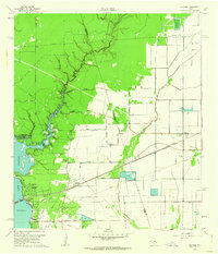
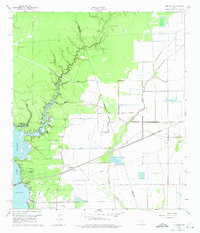
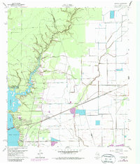
Editions of this 1960 Huffman Map
4 editions found
Other maps of this area

1916 · Crosby
USGS Topo · 1:24,000

1916 · Harmaston
USGS Topo · 1:24,000

1916 · Moonshine Hill
USGS Topo · 1:24,000

1916 · Huffman
USGS Topo · 1:24,000

1919 · Crosby
USGS Topo · 1:31,680

1920 · Harmaston
USGS Topo · 1:31,680

1920 · Moonshine Hill
USGS Topo · 1:31,680

1920 · Huffman
USGS Topo · 1:31,680

1943 · Liberty
USGS Topo · 1:125,000
1944 · Crosby
USGS Topo · 1:31,680