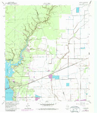
1960 Map of Huffman
USGS Topo · Published 1987About this map
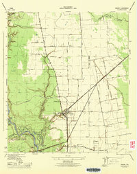
Lake Houston and the winding course of Luce Bayou dominate this landscape on the border of Liberty and Harris counties. The settlement of Huffman serves as a local hub, featuring the Huffman Sch, Huffman Ch, and several burial grounds including Huffman Cem and the Huffman Community Cem. To the east, the community of Eastgate sits along the Missouri Pacific railroad line, supported by Eastgate Ch.
Find a feature on this map
28 named features on this map. Tap any name to fly to it.
Don’t see what you’re looking for? This feature index may not catch every label — zoom into the map to look around manually.
Map Details
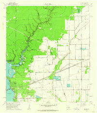
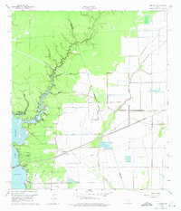
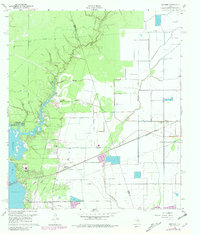
Editions of this 1960 Huffman Map
4 editions found
Other maps of this area

1916 · Crosby
USGS Topo · 1:24,000

1916 · Harmaston
USGS Topo · 1:24,000

1916 · Moonshine Hill
USGS Topo · 1:24,000

1916 · Huffman
USGS Topo · 1:24,000

1919 · Crosby
USGS Topo · 1:31,680

1920 · Harmaston
USGS Topo · 1:31,680

1920 · Moonshine Hill
USGS Topo · 1:31,680

1920 · Huffman
USGS Topo · 1:31,680

1943 · Liberty
USGS Topo · 1:125,000
1944 · Crosby
USGS Topo · 1:31,680