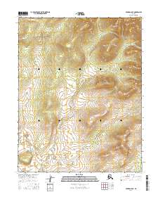
2016 Map of Hughes B-5 NE
USGS Topo · Published 2016About this map
The Continental Divide winds through the northwestern corner of this remote Alaskan interior landscape, marking a significant hydrologic boundary in the Yukon-Koyukuk region. This 2016 survey highlights a vast, unpopulated wilderness defined by complex terrain and the administrative structure of the Public Land Survey System. The map is primarily organized around township and range designations such as T13n R17e and T12n R18e, reflecting the systematic grid-based mapping of the American North. Without established roads or settlements, the landscape's character is defined entirely by its natural contours and the invisible lines of territorial division.
Find a feature on this map
7 named features on this map. Tap any name to fly to it.
Don’t see what you’re looking for? This feature index may not catch every label — zoom into the map to look around manually.
Map Details
Editions of this 2016 Hughes B-5 NE Map
This is the sole edition of this map. No revisions or reprints were ever made.
Other maps of this area

1951 · Hughes
USGS Topo · 1:250,000

1956 · Hughes
USGS Topo · 1:250,000

1964 · Hughes
USGS Topo · 1:250,000

1965 · Hughes
USGS Topo · 1:250,000
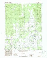
1986 · Hughes B-4
USGS Topo · 1:63,360
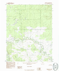
1986 · Hughes B-5
USGS Topo · 1:63,360
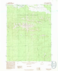
1986 · Hughes C-5
USGS Topo · 1:63,360
1986 · Hughes C-4
USGS Topo · 1:63,360
2016 · Hughes B-5 NW
USGS Topo · 1:25,000
2016 · Hughes B-5 SW
USGS Topo · 1:25,000