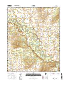
2016 Map of Hughes B-5 SE
USGS Topo · Published 2016About this map
The Hogatza River snakes through this Interior Alaska landscape, creating a complex network of oxbows and abandoned channels across the river valley. This 2016 survey captures a wilderness dominated by fluvial geomorphology, where the river's meandering path has carved out a broad floodplain set against the rising terrain of the Nilunorat Hills to the northeast. The absence of roads or permanent settlements within the survey area emphasizes the isolation of this region within the Yukon-Koyukuk territory. Land ownership and management are delineated by township boundaries including t11n r17e and t10n r18e, reflecting the public land survey system managed by the BLM and State of Alaska in these remote river corridors.
Find a feature on this map
6 named features on this map. Tap any name to fly to it.
Don’t see what you’re looking for? This feature index may not catch every label — zoom into the map to look around manually.
Map Details
Editions of this 2016 Hughes B-5 SE Map
This is the sole edition of this map. No revisions or reprints were ever made.
Other maps of this area

1951 · Hughes
USGS Topo · 1:250,000

1956 · Hughes
USGS Topo · 1:250,000

1964 · Hughes
USGS Topo · 1:250,000

1965 · Hughes
USGS Topo · 1:250,000
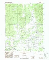
1986 · Hughes B-4
USGS Topo · 1:63,360
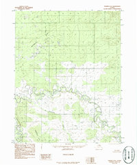
1986 · Hughes B-5
USGS Topo · 1:63,360
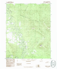
1986 · Hughes A-5
USGS Topo · 1:63,360
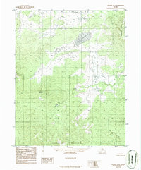
1986 · Hughes A-4
USGS Topo · 1:63,360
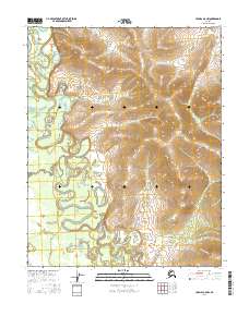
2016 · Hughes A-5 NW
USGS Topo · 1:25,000
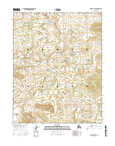
2016 · Hughes B-5 NW
USGS Topo · 1:25,000