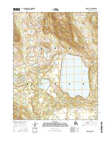
2016 Map of Hughes D-3 SW
USGS Topo · Published 2016About this map
Gates of the Arctic National Preserve dominates the northern landscape of this 2016 survey, where the Brooks Range foothills meet a watery lowland expanse. The terrain is defined by the massive Norutak Lake, a significant water body situated in the central-east portion of the sheet. Outside of the preserve boundaries, the map details the intricate hydrography of the Northwest Arctic Borough, characterized by countless small ponds and wetlands. This document serves as a detailed record of the wilderness as it appeared in the early 21st century, illustrating the relationship between the high-elevation slopes in the north and the lake-dotted basins to the south.
Find a feature on this map
6 named features on this map. Tap any name to fly to it.
Don’t see what you’re looking for? This feature index may not catch every label — zoom into the map to look around manually.
Map Details
Editions of this 2016 Hughes D-3 SW Map
This is the sole edition of this map. No revisions or reprints were ever made.
Other maps of this area

1951 · Hughes
USGS Topo · 1:250,000

1956 · Hughes
USGS Topo · 1:250,000

1964 · Hughes
USGS Topo · 1:250,000

1965 · Hughes
USGS Topo · 1:250,000
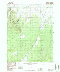
1986 · Hughes C-3
USGS Topo · 1:63,360
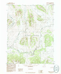
1986 · Hughes D-4
USGS Topo · 1:63,360
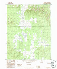
1986 · Hughes C-4
USGS Topo · 1:63,360
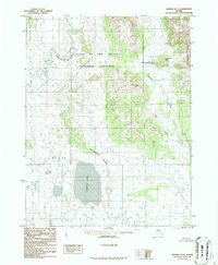
1986 · Hughes D-3
USGS Topo · 1:63,360
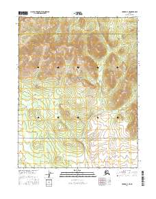
2016 · Hughes C-4 NE
USGS Topo · 1:25,000
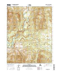
2016 · Hughes D-4 SE
USGS Topo · 1:25,000