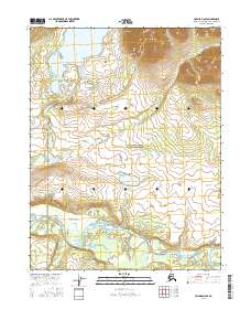
2016 Map of Hughes D-6 SE
USGS Topo · Published 2016About this map
Gates of the Arctic National Preserve dominates this wild Alaskan landscape, where the northern drainage patterns of the Brooks Range unfold. High-elevation contours in the northeast transition into a complex network of wetlands and river valleys to the south and west. The prominent Lake Selby sits in the northwestern quadrant, feeding the Selby River as it meanders toward its confluence. In the southern half of the map, the Kobuk River carves a broad path across the terrain, joined by the winding waters of Angayukachak Cr. This 2016 survey documents the intricate hydrography of the region, illustrating the seasonal floodplains and braided channels that characterize this preserved wilderness in the Northwest Arctic Borough.
Find a feature on this map
9 named features on this map. Tap any name to fly to it.
Don’t see what you’re looking for? This feature index may not catch every label — zoom into the map to look around manually.
Map Details
Editions of this 2016 Hughes D-6 SE Map
This is the sole edition of this map. No revisions or reprints were ever made.
Other maps of this area

1951 · Hughes
USGS Topo · 1:250,000

1956 · Hughes
USGS Topo · 1:250,000

1964 · Hughes
USGS Topo · 1:250,000

1965 · Hughes
USGS Topo · 1:250,000
1986 · Hughes D-5
USGS Topo · 1:63,360
1986 · Hughes C-5
USGS Topo · 1:63,360
1986 · Hughes D-6
USGS Topo · 1:63,360
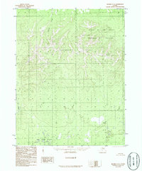
1986 · Hughes C-6
USGS Topo · 1:63,360
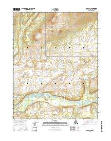
2016 · Hughes D-6 SW
USGS Topo · 1:25,000
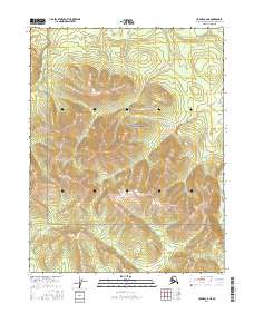
2016 · Hughes C-6 NE
USGS Topo · 1:25,000