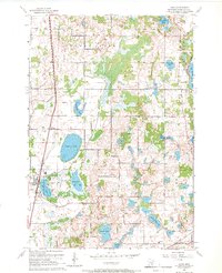
1967 Map of Hugo
USGS Topo · Published 1969About this map
The Northern Pacific railroad corridor anchors the western landscape of this Washington County survey, running through the settlements of Hugo and Weston. This era in the late 1960s reflects a transitional period for the region, where established lakeside recreation areas like the Veterans Rest Camp and Campfire Girls Camp sit alongside active extraction sites like the Gravel Pits north of Rice Lake. The terrain is defined by a dense network of glacial water bodies, from the large Oneka Lake to the more secluded Lynch Lake and Goggins Lake in the southeast.
Find a feature on this map
33 named features on this map. Tap any name to fly to it.
Don’t see what you’re looking for? This feature index may not catch every label — zoom into the map to look around manually.
Map Details
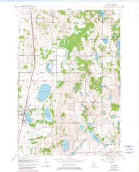
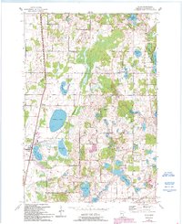
Editions of this 1967 Hugo Map
3 editions found
Other maps of this area

1902 · White Bear
USGS Topo · 1:62,500

1948 · Stillwater
USGS Topo · 1:62,500

1949 · Stillwater
USGS Topo · 1:62,500

1951 · White Bear Lake East
USGS Topo · 1:24,000

1951 · Stillwater
USGS Topo · 1:24,000

1952 · Centerville
USGS Topo · 1:24,000

1952 · White Bear Lake West
USGS Topo · 1:24,000

1953 · Stillwater
USGS Topo · 1:250,000

1954 · Hugo
USGS Topo · 1:24,000

1955 · Marine
USGS Topo · 1:24,000