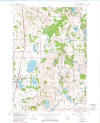
1967 Map of Hugo
USGS Topo · Published 1981About this map
Hugo and its surrounding lake-strewn landscape are defined by the convergence of major transit corridors and glacial waters during the late 1960s. The Northern Pacific railroad cuts a straight line through the western portion of the map, passing the St Johns Cem and the small settlement of Weston. To the east, the Soo Line serves the community of Withrow and its namesake Withrow Cem. The area’s character is shaped by its recreational and institutional lands, including the Campfire Girls Camp and the Veterans Rest Camp, interspersed between large bodies of water like Rice Lake, Oneka Lake, and the western shore of Big Marine Lake. Mapping revisions show localized expansion near the Forest Lake Airport and a small Trailer Park, reflecting a period of gradual transition as these rural townships began to accommodate more permanent residential development alongside their traditional gravel pits and farms.
Find a feature on this map
37 named features on this map. Tap any name to fly to it.
Don’t see what you’re looking for? This feature index may not catch every label — zoom into the map to look around manually.
Map Details
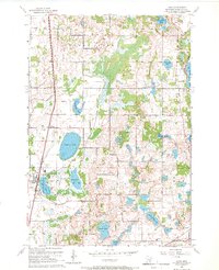
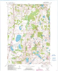
Editions of this 1967 Hugo Map
3 editions found
Other maps of this area

1902 · White Bear
USGS Topo · 1:62,500

1948 · Stillwater
USGS Topo · 1:62,500

1949 · Stillwater
USGS Topo · 1:62,500

1951 · White Bear Lake East
USGS Topo · 1:24,000

1951 · Stillwater
USGS Topo · 1:24,000

1952 · Centerville
USGS Topo · 1:24,000

1952 · White Bear Lake West
USGS Topo · 1:24,000

1953 · Stillwater
USGS Topo · 1:250,000

1954 · Hugo
USGS Topo · 1:24,000

1955 · Marine
USGS Topo · 1:24,000