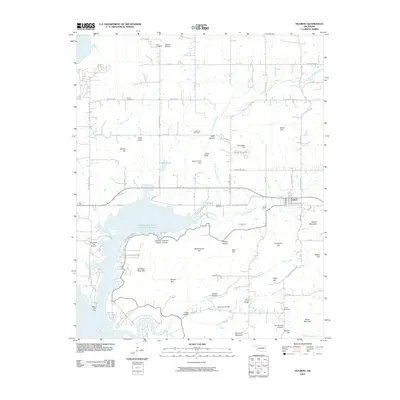
2010 Map of Hulbert
USGS Topo · Published 2010About this map
Hulbert serves as the central hub of this eastern Oklahoma landscape, situated at the crossroads of several regional routes and the Fourteenmile Creek drainage system. The terrain is defined by a dense network of ridges and hollows, including named peaks like Waford Mountain, Negro Hill, and Chucalate Hill. Water features dominate the western edge, where the Neosho River flows near the Western Hill Lodge and the Sequoyah Park Airport.
Find a feature on this map
77 named features on this map. Tap any name to fly to it.
Don’t see what you’re looking for? This feature index may not catch every label — zoom into the map to look around manually.
Map Details
Editions of this 2010 Hulbert Map
This is the sole edition of this map. No revisions or reprints were ever made.
Other maps of this area

1896 · Pryor
USGS Topo · 1:125,000

1901 · Muscogee
USGS Topo · 1:125,000

1901 · Pryor
USGS Topo · 1:125,000

1905 · Muscogee
USGS Topo · 1:125,000

1946 · Fort Smith
USGS Topo · 1:250,000

1948 · Hulbert
USGS Topo · 1:62,500

1948 · Wagoner
USGS Topo · 1:62,500

1950 · Wagoner
USGS Topo · 1:62,500

1950 · Hulbert
USGS Topo · 1:62,500

1954 · Tulsa
USGS Topo · 1:250,000