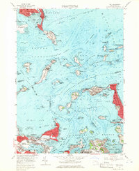
1958 Map of Hull
USGS Topo · Published 1959About this map
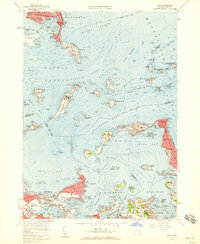
Deer Island and Long Island dominate the harbor approach in this late-1950s survey, illustrating a coastal landscape defined by institutional and military presence. The map records several harbor defenses, including Fort Warren US Res on Georges Island and Fort Standish US Res on Lovell Island, which stood as sentinels along Nantasket Roads and President Roads. On the mainland, the tight residential clusters of Hull and Allerton extend along the narrow peninsula toward Pemberton, flanked by the recreational stretch of Nantasket Beach. The industrial and transportation infrastructure of the era is evident in the sprawling Logan International Airport to the northwest and the Pumping Station near Houghs Neck. From the House of Correction to the Long Island Hospital, this map details the complex maritime and social geography of the outer harbor before modern expansion and redevelopment altered these island facilities.
Find a feature on this map
113 named features on this map. Tap any name to fly to it.
Don’t see what you’re looking for? This feature index may not catch every label — zoom into the map to look around manually.
Map Details
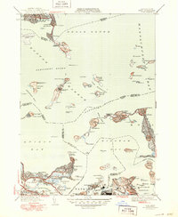
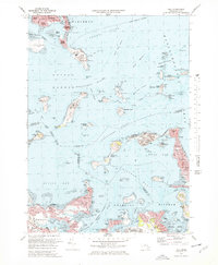
Editions of this 1958 Hull Map
2 editions found
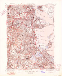
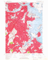
Historical Maps of Boston Through Time
16 maps found

1944 Boston South
Suffolk County, MA

1944 Hull
Suffolk County, MA
1946 Boston South
Suffolk County, MA
1946 Hull
Suffolk County, MA

1948 Hull
Suffolk County, MA

1949 Hull
Suffolk County, MA

1954 Boston South
Suffolk County, MA
1956 Boston South
Suffolk County, MA
1958 Hull
Suffolk County, MA
1970 Boston South
Suffolk County, MA
1971 Hull
Suffolk County, MA

1977 Boston South
Suffolk County, MA

1977 Hull
Suffolk County, MA
1987 Boston South
Suffolk County, MA
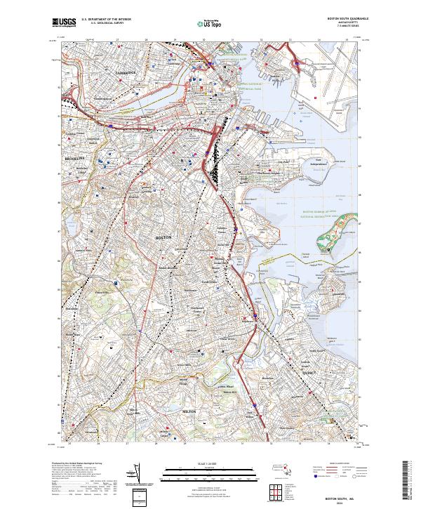
2024 Boston South
Suffolk County, MA
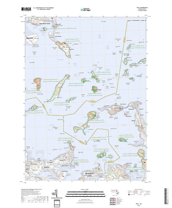
2024 Hull
Suffolk County, MA